We use cookies to make your experience better. To comply with the new e-Privacy directive, we need to ask for your consent to set the cookies. Learn more
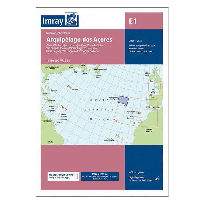
E1 Arquipelago dos Acores
£23.95
In Stock
Usually dispatched within 24 hrs. Free delivery to UK for orders £25 and over
| Cordee Code: | IM0181 |
|---|---|
| Page Size: | 210 x 297 mm |
| No of Pages: | 2 |
| Publisher: | Fb Imray Laurie Norie And Wilson |
| ISBN13: | 9781786793102 |
| Binding: | Sheet Map (folded) |
| Weight: | 220g |
| Product Type: | Map |
Plans included: Lajes das Flores (1:20 000) Horta (1:12 500) Lajes do Pico (1:10 000) Velas (1:7500) Vila da Praia (1:10 000) Praia da Vit?ria (1:20 000) Angra do Hero?smo (1:12 500) Ponta Delgada (1:10 000) Vila Franco do Campo (1:15 000) Vila do Porto (1:10 000) Imray-Iolaire charts for the Atlantic Islands are widely acknowledged as the best available for the cruising sailor. They combine the latest official survey Digital with first-hand information gathered over 60 years of research by Don Street Jr and his wide network of contributors. Like all Imray charts, they are printed on water resistant Pretex paper for durability, and they include many anchorages, facilities and inlets not included on official charts. This edition includes the latest official Digital combined with additional information sourced from Imray's network to make it ideal for small craft. It includes the latest official bathymetric surveys. Completed harbour works at Porto das Velas (S?o Jorge) is included and extra Marine Reserves are shown. For this edition magnetic variation curves have been added. There has been general updating throughout.