We use cookies to make your experience better. To comply with the new e-Privacy directive, we need to ask for your consent to set the cookies. Learn more
Dublin Street Map
1:20 000
£10.99
In Stock
Usually dispatched within 24 hrs. Free delivery to UK for orders £25 and over
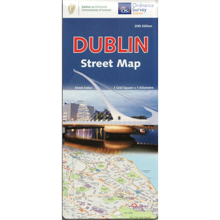
Dublin at 1:20,000 on a large, double-sided street plan from the Ordnance Survey of Ireland covering the city beyond its motorway ring, with an enlargement showing the centre in greater detail, plus an index in a separate booklet.
| Cordee Code: | CME029 |
|---|---|
| Page Size: | 115 x 260 mm |
| Publisher: | Os (ireland Maps) |
| ISBN13: | 9781912140657 |
| Language: | English |
| Published Date: | November 2021 |
| Edition: | 20th ed, 2021 |
| Binding: | Sheet Map (folded) In Wallet |
| Weight: | 60g |
| Product Type: | Map |
| Countries: | Ireland |
Dublin at 1:20,000 on a large, double-sided street plan from the Ordnance Survey of Ireland covering the city beyond its motorway ring, with an enlargement showing the centre in greater detail, plus an index in a separate booklet. The plan is double-sided, dividing Dublin east/west with a good overlap between the sides, and provides coverage roughly within the M50 motorway ring, plus well beyond it in the west. Main traffic routes are highlighted and the map also shows the Garda speed enforcements zones; one way streets are indicated only on the city centre enlargement. Luas lines are shown with stops and railway stations are clearly marked. The map also shows the ?dublinbikes? stations. Important buildings are prominently indicated by colours and symbols show various public facilities. The index grid divides the city into 1-km squares: the index is in a separate booklet.
The plan also includes an enlargement showing the city centre in greater detail at 1:7,500, with more prominent colouring for various types of public places and symbols for notable buildings, tourist offices, museums, shopping centres, etc. Current 20th edition was published in summer 2013.
The plan also includes an enlargement showing the city centre in greater detail at 1:7,500, with more prominent colouring for various types of public places and symbols for notable buildings, tourist offices, museums, shopping centres, etc. Current 20th edition was published in summer 2013.

