We use cookies to make your experience better. To comply with the new e-Privacy directive, we need to ask for your consent to set the cookies. Learn more
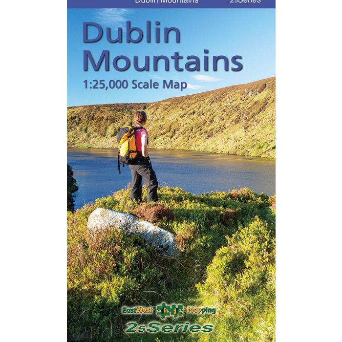
Dublin Mountains 1:25,000 map
£17.99
In Stock
Usually dispatched within 24 hrs. Free delivery to UK for orders £25 and over
| Cordee Code: | CMI042 |
|---|---|
| Page Size: | 125 x 225 mm |
| Publisher: | Eastwest Mapping |
| ISBN13: | 9781899815531 |
| Published Date: | January 2021 |
| Edition: | 2021 |
| Binding: | Sheet Map (folded) |
| Weight: | 95g |
| Product Type: | Map |
Definitive detailed map from our 25Series of Wicklow at 1:25,000 scale covering from Tallaght to Sally Gap and Blessington to Enniskerry. Covers all the Dublin Mountains including the full Dublin Mountains Way walking route plus other local waymarked trails. First published in 2009, this is a completely new and detailed map replacing the previous 1:30,000 scale maps. We have conducted considerable research into local sites & placenames and much information is recorded on this map. Printed on good quality Progeo 90gsm map paper. The map sheet measures 1125mm x 820mm, covering 550 sq kilometres and is folded down to 125mm x 205mm.
1:25,000 Scale : 1 centimetre on the map = 250 metres on the ground. Contour Interval : 5 metres.
Published April 2021. This 1:25,000 scale map replaces the 1:30,000 map published in 2009, 2013 & 2019.
1:25,000 Scale : 1 centimetre on the map = 250 metres on the ground. Contour Interval : 5 metres.
Published April 2021. This 1:25,000 scale map replaces the 1:30,000 map published in 2009, 2013 & 2019.