We use cookies to make your experience better. To comply with the new e-Privacy directive, we need to ask for your consent to set the cookies. Learn more
Dolomiti di Zolda 025
£12.99
Temp Out Of Stock
| Cordee Code: | CMDZ60 |
|---|---|
| Publisher: | Casa Editrice Tabacco |
| ISBN13: | 9788883151590 |
| Scale: | 1:25 000 |
| Published Date: | February 2023 |
| Edition: | 2023 |
| Binding: | Sheet Map (folded) |
| Weight: | 90g |
| Product Type: | Map |
| Countries: | Italy |
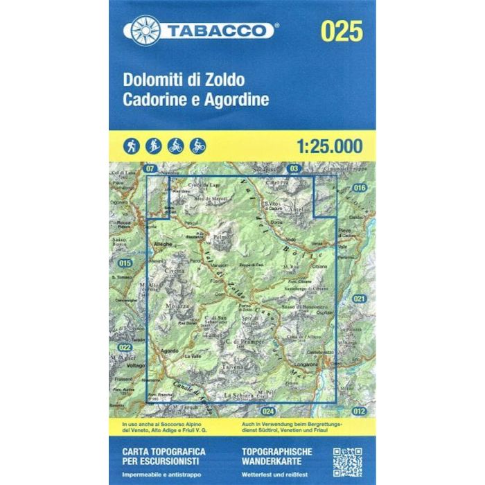
Published by Tabacco maps of Italy.
The Dolomites and the mountains of north-eastern Italy with excellent cartography and extensive overprint for hiking routes. Most titles are now GPS compatible.
Each map has contours at 25m intervals, shading and graphic relief. Includes an overprint that highlights local footpaths, indicating the degree of difficulty and the state of waymarking. The maps in this series also show the high level routes (Alte Vie), Carnia Trekking path, and the north-eastern section of the Sentiero Italia. Also shown are the "via ferrata" paths along the iron rails and ladders fitted into the rock faces during the World War II to improve troop movement and now open to the public. Several of the titles also show ski routes, again indicating the degree of difficulty.
Includes indication of six different types of accommodation from isolated hotels and inns to campsites and refuges, local bus stops, cable car lines and chair lifts, plus places of interest and sport facilities.
GPS Compatible, 1km UTM grid and the map legend includes English on most titles.