We use cookies to make your experience better. To comply with the new e-Privacy directive, we need to ask for your consent to set the cookies. Learn more
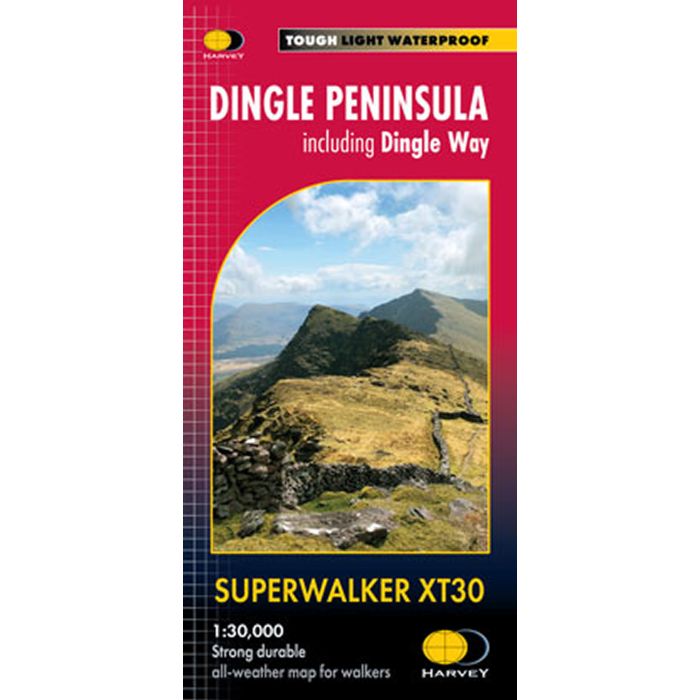
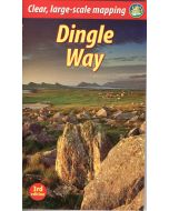
Dingle Peninsula Superwalker XT30
Including Dingle Way
£15.95
In Stock
Usually dispatched within 24 hrs. Free delivery to UK for orders £25 and over
The whole of the Dingle Peninsula on one lightweight, waterproof map at the popular 1:30,000 scale.
| Cordee Code: | CMH361 |
|---|---|
| Page Size: | 116 x 243 mm |
| No of Pages: | 1 |
| Publisher: | Harvey Maps |
| ISBN13: | 9781851376704 |
| Published Date: | September 2023 |
| Edition: | 2023 |
| Binding: | Sheet Map (folded) |
| Weight: | 75g |
| Product Type: | Map |
The whole of the Dingle Peninsula on one lightweight, waterproof map at the popular 1:30,000 scale.
Includes Mount Brandon and the entire Brandon Group of mountains in the west of the Peninsula.
To the east, the Slieve Mish mountains are also shown.
The map also shows the Dingle Way - a 179km long distance walking route around the edge of the Peninsula that starts and finishes in Tralee. The route is highlighted in red.
The Blasket Islands are also shown at 1:50,000 scale. Popular for day trips, these uninhabited islands are the most westerly point of Europe.
Placenames in English and Gaeilge / Gaelic.
Archaeological sites and walls and fences in farmland are clearly marked.