We use cookies to make your experience better. To comply with the new e-Privacy directive, we need to ask for your consent to set the cookies. Learn more
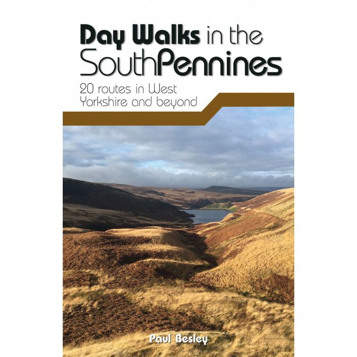
Day Walks in the South Pennines
20 routes in West Yorkshire and beyond
£14.95
In Stock
Usually dispatched within 24 hrs. Free delivery to UK for orders £25 and over
Day Walks in the South Pennines features 20 circular walks between 5 and 18 miles (8 and 29 km) in length, spread across West Yorkshire, Lancashire and Greater Manchester. Together with stunning photography, each route features Ordnance Survey 1:25,000 maps, easy-to-follow directions, details of distance and navigation information, and refreshment stops and local information.
| Cordee Code: | CWP799 |
|---|---|
| Page Size: | 120 x 175 mm |
| No of Pages: | 152 |
| Publisher: | Vertebrate Publishing |
| ISBN13: | 9781912560653 |
| Author: | Paul Besley |
| Published Date: | July 2020 |
| Edition: | 1st, 2020 |
| Binding: | Paperback |
| Illustrations: | Full colour throughout |
| Weight: | 193g |
| Geoarea: | Pennines |
| Product Type: | Guide Books |
Day Walks in the South Pennines features 20 circular walks between 5 and 18 miles (8 and 29 km) in length, spread across West Yorkshire, Lancashire and Greater Manchester. Researched and written by knowledgeable and experienced author Paul Besley, the walks range from gentle rambles to more challenging daywalks, all through striking and varied terrain.
The routes are split into two geographical areas - Southern Walks, including routes around Dovestones, Ramsden Clough and Holmfirth; and Northern Walks, including routes around Hebden Bridge, Hardcastle Crags and Ilkley Moor.
Together with stunning photography, each route features Ordnance Survey 1:25,000 maps, easy-to-follow directions, details of distance and navigation information, and refreshment stops and local information.