We use cookies to make your experience better. To comply with the new e-Privacy directive, we need to ask for your consent to set the cookies. Learn more
Dartmoor OS
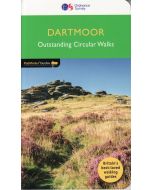
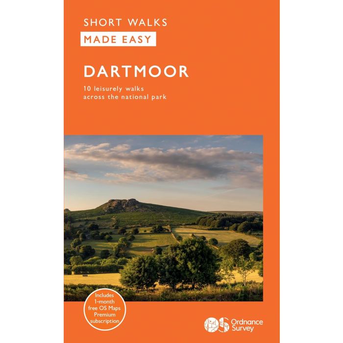
Short Walks Made Easy
£8.99
In Stock
Usually dispatched within 24 hrs. Free delivery to UK for orders £25 and over
Dartmoor is part of a vast, raised granite plateau forming the largest area of wild country in southern Britain. It was designated as a national park in 1951 and covers an area of 368 square miles between Okehampton and Ivybridge, north to south, and Tavistock and Bovey Tracey, west to east.
| Cordee Code: | OSW020 |
|---|---|
| Page Size: | 112 x 178 mm |
| No of Pages: | 80 |
| Publisher: | Ordnance Survey |
| ISBN13: | 9780319092736 |
| Published Date: | July 2024 |
| Edition: | July 2024 |
| Binding: | Paperback |
| Illustrations: | Full colour throughout |
| Weight: | 130g |
| Product Type: | Book |
For fabulous views across the tor-studded moorland, look no further than gentle walks to Haytor Quarry and from Princetown, the moors highest settlement.
Discover the delightfully old tramway path at Okehampton, encountering a lofty railway viaduct built in 1870 and a woodland path running alongside the East Okement River valley.
There's also fascinating wartime history to discover at Harrowbeer, including WW2 airfields and bunkers, plus views over Dartmoor's western tors.