We use cookies to make your experience better. To comply with the new e-Privacy directive, we need to ask for your consent to set the cookies. Learn more
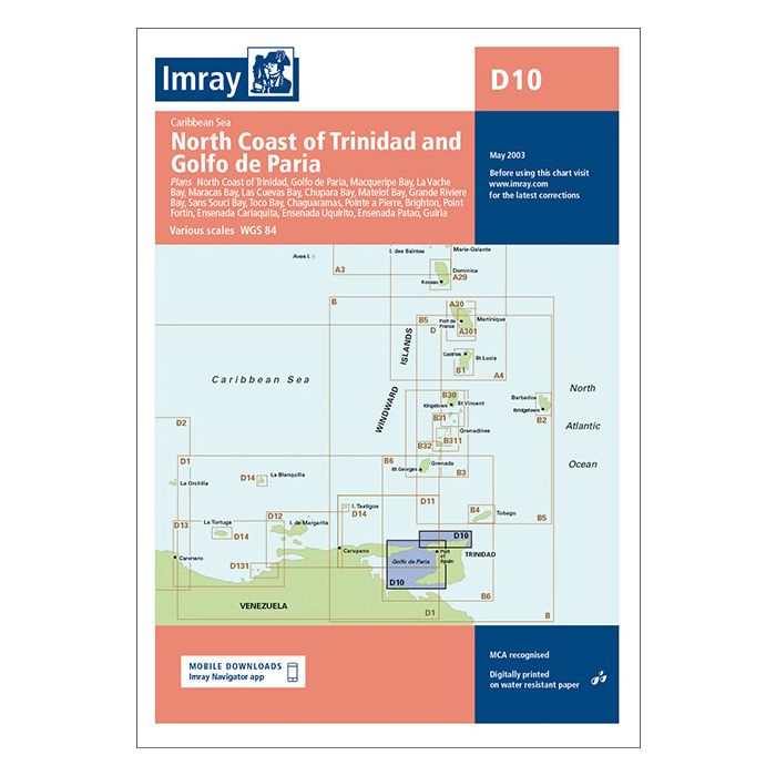
D10 North Coast of Trinidad and Golfo de Paria
£23.95
In Stock
Usually dispatched within 24 hrs. Free delivery to UK for orders £25 and over
| Cordee Code: | IM0425 |
|---|---|
| Page Size: | 230 x 320 mm |
| No of Pages: | 2 |
| Publisher: | Fb Imray Laurie Norie And Wilson |
| ISBN13: | 9780852887127 |
| Published Date: | May 2003 |
| Edition: | 2003 |
| Binding: | Sheet Map (folded) |
| Weight: | 150g |
| Product Type: | Map |
Imray-Iolaire charts for Caribbean are widely acknowledged as the best available for the cruising sailor. They combine the latest official survey Digital with first-hand information gathered over 60 years of research by Don Street Jr and his wide network of contributors.
Like all Imray charts, they are printed on water resistant Pretex paper for durability, and they include many anchorages, facilities and inlets not included on official charts.
North Coast of Trinidad 1:145,000
Golfo de Paria 1:234,000
Plans include:
Macqueripe Bay
La Vache Bay
Maracas Bay
Las Cuevas Bay
Chupara Bay
Matelot Bay
Grande Riviere Bay
Sans Souci Bay
Toco Bay
Pointe a Pierre
Brighton Point
Fortin Ensenada
Cariaquita Ensenada
Uquirito Ensenada
Patao Guiria