We use cookies to make your experience better. To comply with the new e-Privacy directive, we need to ask for your consent to set the cookies. Learn more
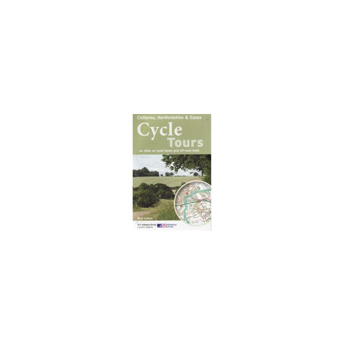
Cycle Tours Chilterns Hertfordshire and Essex
£12.99
In Stock
Usually dispatched within 24 hrs. Free delivery to UK for orders £25 and over
| Cordee Code: | CTB069 |
|---|---|
| Page Size: | 150 x 210 mm |
| No of Pages: | 126 |
| Publisher: | Cycle City Guides |
| ISBN13: | 9781904207580 |
| Author: | Nick Cotton |
| Language: | English |
| Published Date: | June 2011 |
| Binding: | Spiral/wirobound |
| Illustrations: | col photos OS 1 50 000 mapping |
| Weight: | 250g |
| Product Type: | Guide Books |
| Countries: | United Kingdom |
This spiral-bound guide describes 20 wonderful bike rides in the countryside to the north and west of London. The area offers some excellent and varied cycling: from the challenges of the steep wooded escarpment of the Chilterns in the west to the gentle gradients on networks of quiet lanes in Hertfordshire and north Essex.
The book contains 15 road rides (24 - 35 miles long) and five offroad rides on bridleways and byways (15 - 21 miles long). All of the rides are highlighted on Ordnance Survey Landranger 1:50,000 mapping, seen as the gold standard of mapping for cyclists. Junction-by-junction route instructions guide you from village to village through the region's beautiful rolling countryside.
Each ride contains details of distance, grade of difficulty and refreshments along the way (with phone numbers of pubs and cafes so that you can check on opening hours). A height profile gives you warning of any hills to expect and schematic maps show how the ride can either be shortened or linked to adjacen


