We use cookies to make your experience better. To comply with the new e-Privacy directive, we need to ask for your consent to set the cookies. Learn more
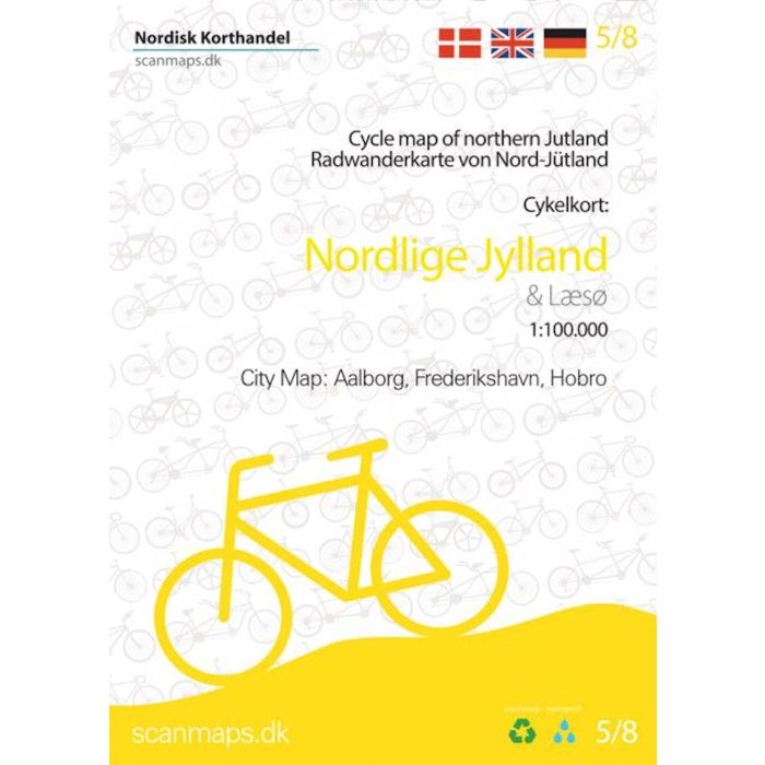
Cycle Map of Nordlige Jylland North Jutland Denmark 58
1:100,000
£22.99
In Stock
Usually dispatched within 24 hrs. Free delivery to UK for orders £25 and over
| Cordee Code: | CMV313 |
|---|---|
| Page Size: | 125 x 175 mm |
| Publisher: | Nordisk Korthandel |
| ISBN13: | 9788779671744 |
| Scale: | 1:100,00 |
| Published Date: | July 2022 |
| Edition: | 2, 2022 |
| Binding: | Sheet Map (folded) |
| Weight: | 70g |
| Product Type: | Map |
| Countries: | Denmark |
With data from the Agency for Data Supply and Efficiency, the Danish Road Directorate and expertise from consultants, we have put together detailed cycling maps of the highest quality.
The map is printed on durable and waterproof material that is environmentally friendly, perfect for a bike ride, and a handy small format that fits in your bag, but it is big and wide when folded out.
The map contains:
- National cycling routes 1, 2 , 3, 5 and 12
- Regional cycle routes 3, 9, 17, 18, 19, 20, 21, 23, 26, 27, 28, 29, 30, 32, 35, 36, 37, 38, 52, 54, 55 , 56, 59, 60, 61, 62 and 63
- Local bicycle routes 100, 200, 500, 600 (Aalborg), 116, 117, 118, 120, Tray route, the Coastal route, Shop route (Fur) The green route, N?rre Hald route and Skive Vestsalling Railway.
- including the new panoramic routes 412, 413, 414, 415 and 416
- General information about accommodation, cycle carriage on trains mm.
- information Icons include grocery stores, bike shops, national landmarks, tourist offices, campsites, hostels, beaches and cyclist friendly churches.
The table of contents is in Danish, German and English.