We use cookies to make your experience better. To comply with the new e-Privacy directive, we need to ask for your consent to set the cookies. Learn more
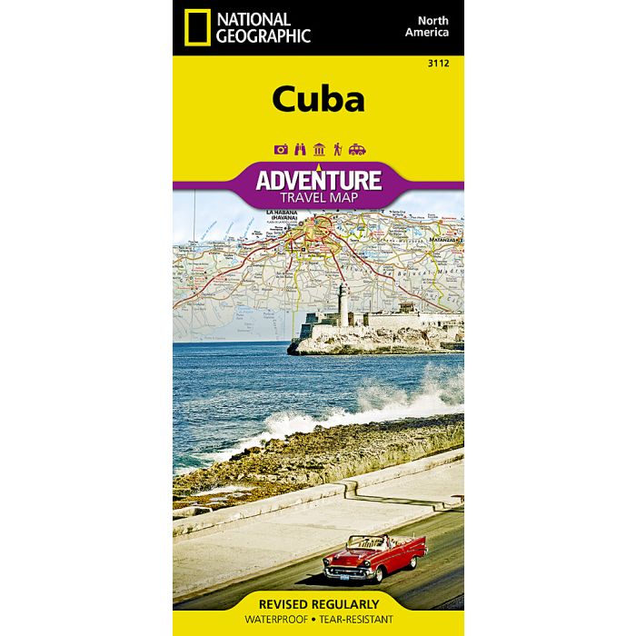
Cuba Map
Adventure Maps
£14.95
In Stock
Usually dispatched within 24 hrs. Free delivery to UK for orders £25 and over
| Cordee Code: | NG0036 |
|---|---|
| Page Size: | 110 x 230 mm |
| Publisher: | National Geographic Maps |
| ISBN13: | 9781566956529 |
| Binding: | Sheet Map (folded) |
| Weight: | 100g |
| Product Type: | Map |
| Countries: | Cuba |
Waterproof Tear-Resistant Travel MapNational Geographic's Cuba Adventure Map is designed with the detail and accurate information that is needed by adventure travelers to this Caribbean island nation. With its abundance of specialized content, not available in traditional road maps, this adventure map is the ideal compliment to any guide book. Included is a user-friendly index of cities and towns, a clearly marked road network and hundreds of diverse and unique points of interest. The mapped road network shows expressways and major routes, complete with distance markers, as well as secondary roads for those looking to travel off the beaten path. Additional transportation features included pinpointed airports, airfields, harbors, marinas and seaports along with railroads and ferry routes. Mapped recreational, ecological, cultural, and historic destinations points of interest include UNESCO World Heritage Sites, caves, churches, forts, ruins, monasteries, coral reefs, spas, beaches, swamps, mangroves and areas for diving, fishing and camping. Protected areas, such as national parks, are clearly shown with their boundaries. The map's west half includes the capital of Havana, Vianles National Park, Varadero Beach and the islands of Cayo Largo and Isla de la Juventud. The eastern half displays the cities of Santa Clara and Trinidad, Topes de Collantes and Alejandro de Humboldt National Parks and some of the southeastern islands of the Bahamas.Every Adventure Map is printed on durable synthetic paper, making them waterproof, tear-resistant and tough capable of withstanding the rigors of international travel.