We use cookies to make your experience better. To comply with the new e-Privacy directive, we need to ask for your consent to set the cookies. Learn more
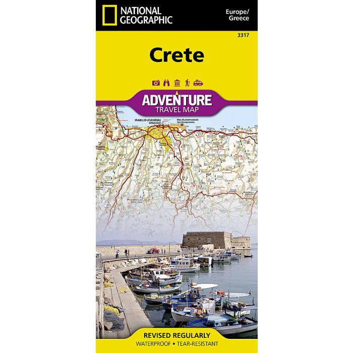
Crete Map Greece
Adventure Maps
£14.95
In Stock
Usually dispatched within 24 hrs. Free delivery to UK for orders £25 and over
| Cordee Code: | NG0068 |
|---|---|
| Page Size: | 110 x 230 mm |
| Publisher: | National Geographic Maps |
| ISBN13: | 9781566956222 |
| Binding: | Sheet Map (folded) |
| Weight: | 100g |
| Product Type: | Map |
| Countries: | Greece |
Waterproof Tear-Resistant Travel MapNational Geographic's Crete Adventure Map is designed to meet the needs of adventure travelers with its detailed, accurate information and user-friendly design. This map includes the locations of thousands of towns and villages, plus a clearly marked road network complete with distances and designations for expressways and roadways. Secondary roads, tracks, and paths are included for adventurers seeking to explore more remote regions. With specialty content to include hundreds of diverse and unique recreational, ecological, cultural, and historical destinations, this map is a perfect companion to a guidebook. Whether your aim is to see the manmade attractions such as antiquity sites, churches, monasteries, and monuments, or you'd like to explore the natural beauty of Crete on its beaches and hiking trails, this map with prove invaluable in your travels. The front side of the print map details the eastern region of the island with the Sea of Crete to the north. The reverse side of the map shows the western region of the island with the Aegean Sea to the north and the Mediterranean Sea to the south. The locations of airports, airfield, harbors, and ferry routes take the guesswork out of travel around the island. Every Adventure Map is printed on durable synthetic paper, making them waterproof, tear-resistant and tough capable of withstanding the rigors of international travel.