We use cookies to make your experience better. To comply with the new e-Privacy directive, we need to ask for your consent to set the cookies. Learn more
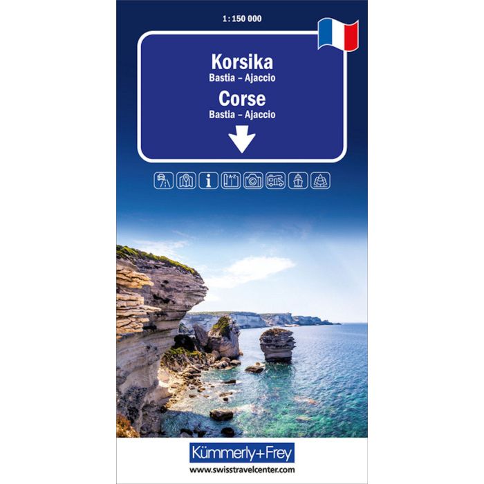
Corsica Road map
Bastia - Ajaccio
£14.99
In Stock
Usually dispatched within 24 hrs. Free delivery to UK for orders £25 and over
| Cordee Code: | KF0019 |
|---|---|
| Page Size: | 130 x 250 mm |
| No of Pages: | 2 |
| Publisher: | Kummerly And Frey |
| ISBN13: | 9783259300046 |
| Scale: | 1:150 000 |
| Author: | Kummerly + Frey |
| Published Date: | January 2025 |
| Edition: | 2025 |
| Binding: | Sheet Map (folded) |
| Weight: | 160g |
| Product Type: | Map |
| Countries: | France |
In the Kummerly & Frey road map of Corsica, scale 1:150,000, you will find everything you need for orientation and inspiration.
The map shows the most important areas of interest from Ajaccio, Calvi, Bastia, Alta Rocca, Santa-Maria-Figaniella, Fiumorbo, etc.
Thanks to the clearly marked, easy-to-read and up-to-date roads, the uncluttered, up-to-date map image and the level of detail, the map is the perfect tool to make the most of your visit to this exceptional region.
The thematic map contains detailed information about localities and the connecting road network.
Travellers by car or motorbike will always find the right way thanks to the easily recognisable, clearly displayed motorways, car roads, main roads, country roads and secondary roads. The integrated city maps help to find your way in and around the cities. The integrated ferry connections also ensure that you reach your destination.
The pasted-in 4-language brochure with location index, city maps, travel information and travel tips complete the map series.
The folding map for car drivers or motorcyclists consists of a sturdy cover and robust paper. It will not let you down even after repeated use.
Should the GPS fail to work or the mobile phone run out of battery, the roads, viewpoints, railway stations, places to stop for refreshments, campsites, car parks, etc. clearly marked on the map will always help you to keep your bearings.