We use cookies to make your experience better. To comply with the new e-Privacy directive, we need to ask for your consent to set the cookies. Read our privacy and security policy

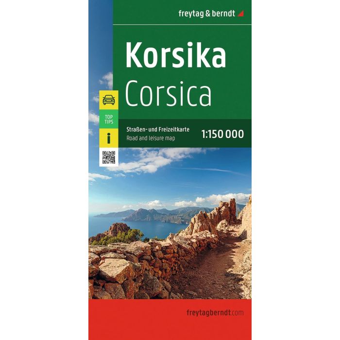
Corsica, Road and Lesiure Map 1:150000,
£12.90
In Stock
Usually dispatched within 24 hrs. Free delivery to UK for orders £25 and over
| Cordee Code: | FB1765 |
|---|---|
| Page Size: | 130 x 255 mm |
| No of Pages: | 2 |
| Publisher: | Freytag & Berndt |
| ISBN13: | 9783707925159 |
| Published Date: | August 2026 |
| Edition: | 2026 |
| Binding: | Sheet Map (folded) |
| Weight: | 150g |
| Product Type: | Map |
| Countries: | France |
With the Corsica road map at a scale of 1:150,000, holidaymakers traveling by car, motorcycle or caravan will find their way around perfectly. The dense road network is accurately depicted, and distances and tourist destinations on Corsica are marked on the map.
Information about the Corsica road map
Scale 1:150,000
Tourist information
Campsites and pitches
Top Tips
Gazetteer and Digital Index
City center plans
approx. 130 x 87.5 cm
The ideal road map for Corsica.
Whether hiking, cycling, water sports, or culture, the diverse leisure activities make every holiday in Corsica an unforgettable experience. Car and motorcycle drivers particularly appreciate the precise cartography from freytag & berndt for planning and orientation on site.
Caravan and campervan owners will, of course, find all campsites and pitches on the map.
Top Tips:
On the back, the 10 most important sights of Corsica are briefly described in several languages ??(German, English, French, Italian).
Information about the Corsica road map
Scale 1:150,000
Tourist information
Campsites and pitches
Top Tips
Gazetteer and Digital Index
City center plans
approx. 130 x 87.5 cm
The ideal road map for Corsica.
Whether hiking, cycling, water sports, or culture, the diverse leisure activities make every holiday in Corsica an unforgettable experience. Car and motorcycle drivers particularly appreciate the precise cartography from freytag & berndt for planning and orientation on site.
Caravan and campervan owners will, of course, find all campsites and pitches on the map.
Top Tips:
On the back, the 10 most important sights of Corsica are briefly described in several languages ??(German, English, French, Italian).