We use cookies to make your experience better. To comply with the new e-Privacy directive, we need to ask for your consent to set the cookies. Learn more
Connemara
Superwalker 1:30,000
£15.50
In Stock
Usually dispatched within 24 hrs. Free delivery to UK for orders £25 and over
| Cordee Code: | CMH302 |
|---|---|
| Page Size: | 116 x 243 mm |
| No of Pages: | 2 |
| Publisher: | Harvey Maps |
| ISBN13: | 9781851376216 |
| Published Date: | April 2019 |
| Edition: | 2019 |
| Binding: | Sheet Map (folded) |
| Weight: | 160g |
| Product Type: | Map |
| Countries: | Ireland |
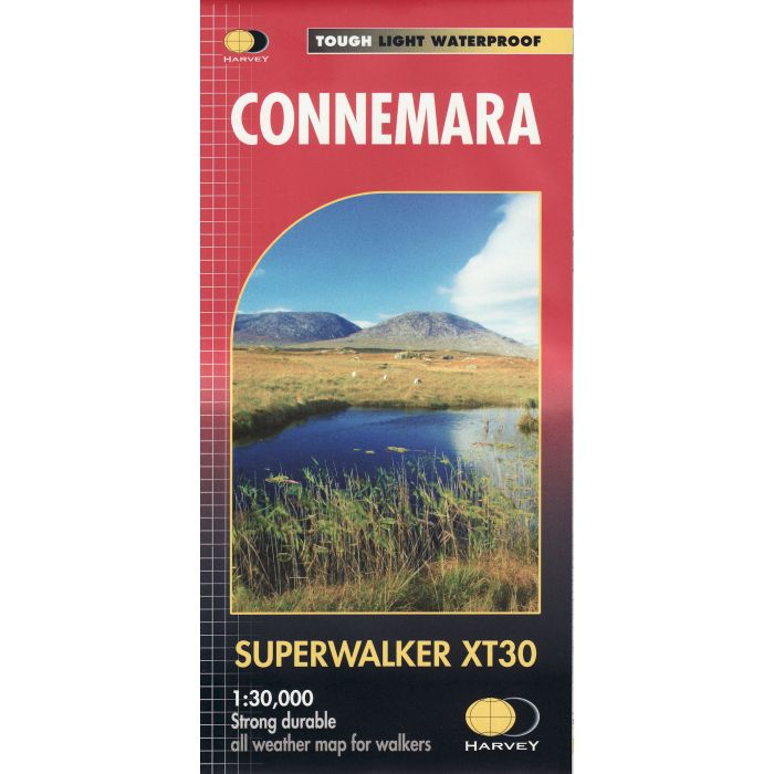
Includes the Twelve Bens and the Maumturks on one sheet.
Detailed map for hillwalkers of the Connemara National Park at 1:30,000 scale.Includes an inset of Clifden.Names are in Gaelic and English and major access routes are shown.
As used by Mountain Rescue Ireland.
-Tough, light, durable and 100% waterproof
-Genuine, original, HARVEY mapping
-Opens directly to either side of the sheet
-Easy to re-fold
Technical specification
Scale: 1:30,000
Ratio: 3.33cm = 1km
Flat size: 696 x 486mm
Folded size: 116 x 243mm
Weight: 33gms
Area of mapping: 435sqkm
Double sided