We use cookies to make your experience better. To comply with the new e-Privacy directive, we need to ask for your consent to set the cookies. Learn more
Colorado River, Headwaters to Kremmling Map
Fishing and River Map Guides
£14.95
In Stock
Usually dispatched within 24 hrs. Free delivery to UK for orders £25 and over
| Cordee Code: | NG0422 |
|---|---|
| Page Size: | 110 x 240 mm |
| Publisher: | National Geographic Maps |
| ISBN13: | 9781566957571 |
| Binding: | Sheet Map (folded) |
| Weight: | 94g |
| Product Type: | Map |
| Countries: | United States of America |
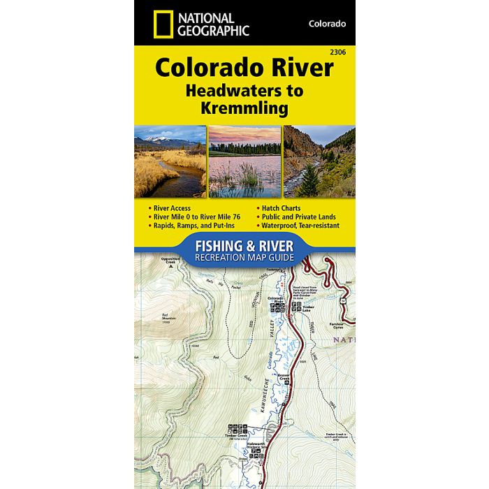
Waterproof Tear-Resistant Fishing & River MapThe Colorado River, Headwaters to Kremmling Fishing & River Map Guide is designed to be the perfect companion for anyone recreating on the upper section of this mighty river. Traveling approximately 76 miles and dropping just shy of 3,000 feet in elevation, the section of the upper Colorado River represented in this mapfrom its headwaters to Kremmlingwinds through diverse landscapes, passes near the towns of Granby, Hot Sulphur Springs, Kremmling, and Parshall, supporting a variety of ecosystems as it morphs into a powerful and mighty waterway known for prolific insect life; brown, rainbow, and brook trout (and the occasional cutthroat); wildlife viewing opportunities; and superb cultural and historical features.Offering copious chances for recreation, including camping; stellar angling; and unguided rafting, kayaking, and stand-up paddle boarding on the Fraser River between Tabernash and Granby and through Byers Canyon (a classic Class IV run on the Colorado River), this waterway and its tributarieswhich are the lifeblood of the basindraw nature lovers, explorers, and anglers from across the globe seeking to experience the Colorado's world-class fly-fishing, spectacular scenery, and remarkable adventure opportunities. Each Fishing & River Map Guide includes detailed river maps at a scale of 1 inch = 1/2 mile. At this scale every turn in the river and rapid is clearly shown and labeled. Each page is centered on the river and overlaps with the adjacent pages so finding any location along the river is easy. The maps include rapids, river miles, access points, private and public lands, gaging stations, recreation sites, and more. Also included are stream flow charts, hatch charts, and a table of river access points.More convenient and easier to use than folded maps, but just as compact and lightweight, National Geographic's Fishing & River Map Guide booklets are printed on "Backcountry Tough" waterproof, tear-resistant paper with stainless steel staples. A full UTM grid is printed on the map to aid with GPS navigation.
-

-

-
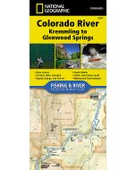 Colorado River, Kremmling to Glenwood Springs MapFishing and River Map Guides£14.95
NG0423
In Stock