We use cookies to make your experience better. To comply with the new e-Privacy directive, we need to ask for your consent to set the cookies. Learn more
Collioure Cadaques
Cote Vermeille/Massif des Alberes/Cap de Crues
£12.99
Temp Out Of Stock
| Cordee Code: | CMP011 |
|---|---|
| Page Size: | 110 x 220 mm |
| Publisher: | Rando Ed |
| ISBN13: | 9782344021316 |
| Scale: | 1:50,000 |
| Language: | English |
| Published Date: | June 2017 |
| Edition: | 1st ed, 2017 |
| Binding: | Sheet Map (folded) |
| Illustrations: | maps |
| Weight: | 70g |
| Product Type: | Map |
| Countries: | France |
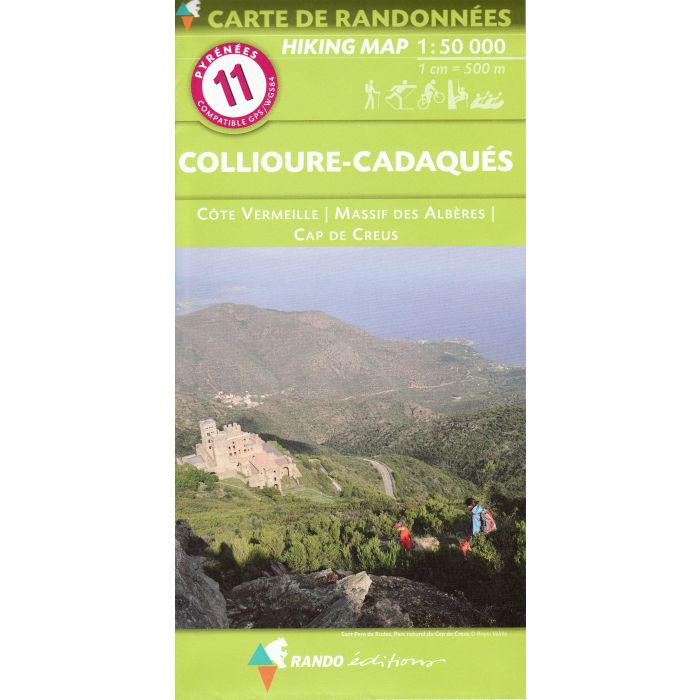
The easternmost part of the Pyrenees, including Argeles, Figueres, Cap de Creus and the resorts on the Mediterranean coast, on a contoured and GPS compatible map at 1:50,000 from Rando Editions with topographic base provided by the IGN, highlighting local and long-distance hiking trails, etc.
Topography is shown by contours at 20m intervals enhanced by shading and graphic relief plus colouring for woodlands and brushwood. An overprint highlights waymarked local and long-distance trails, including the course of the GR10, as well as other hiking paths, indicating difficult sections and traverses across ice. A wide range of symbols presents different accommodation options (campsites, mountain refuges or lodges, g?tes d'etape), locations for various recreational pursuits (mountain biking, climbing, hand gliding, canoeing and rafting, etc), historical and cultural sites, tourist information offices, etc. On the Spanish side of the border, main hiking trails are highlighted but other recreational and tourist information is limited. PLEASE NOTE: this title has only margin ticks for the Lambert projection at 5-km intervals and a legend in French and Spanish.
Topography is shown by contours at 20m intervals enhanced by shading and graphic relief plus colouring for woodlands and brushwood. An overprint highlights waymarked local and long-distance trails, including the course of the GR10, as well as other hiking paths, indicating difficult sections and traverses across ice. A wide range of symbols presents different accommodation options (campsites, mountain refuges or lodges, g?tes d'etape), locations for various recreational pursuits (mountain biking, climbing, hand gliding, canoeing and rafting, etc), historical and cultural sites, tourist information offices, etc. On the Spanish side of the border, main hiking trails are highlighted but other recreational and tourist information is limited. PLEASE NOTE: this title has only margin ticks for the Lambert projection at 5-km intervals and a legend in French and Spanish.