We use cookies to make your experience better. To comply with the new e-Privacy directive, we need to ask for your consent to set the cookies. Learn more

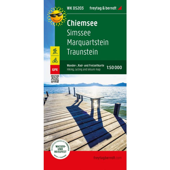
Chiemsee, hiking, cycling and leisure map
£8.90
In Stock
Usually dispatched within 24 hrs. Free delivery to UK for orders £25 and over
| Cordee Code: | FB0912 |
|---|---|
| Page Size: | 100 x 205 mm |
| Publisher: | Freytag & Berndt |
| ISBN13: | 9783707920390 |
| Published Date: | February 2022 |
| Binding: | Sheet Map (folded) |
| Weight: | 100g |
| Product Type: | Map |
| Countries: | Germany |
The Chiemsee forms the center of the map. Cycle and hiking trails close to the shore let him explore, lead to piers to visit Herreninsel and Fraueninsel. The routes through the rugged Chiemgau Alps (over 1,000 m above sea level) require fitness. Other themed routes lead further west along the Inn or through the hilly landscape north of the lake.
Waterproof and tear-resistant
The map is printed on a special waterproof and durable paper so that it can also be used for orientation on rainy days.
Resource-saving production
The map consists of 80% ground limestone. The production is much more resource-efficient than with conventional paper, since the consumption of water, wood and energy is significantly lower.
Waterproof and tear-resistant
The map is printed on a special waterproof and durable paper so that it can also be used for orientation on rainy days.
Resource-saving production
The map consists of 80% ground limestone. The production is much more resource-efficient than with conventional paper, since the consumption of water, wood and energy is significantly lower.