We use cookies to make your experience better. To comply with the new e-Privacy directive, we need to ask for your consent to set the cookies. Learn more
CheeseboroPalo Comado Canyons trail map
£10.99
In Stock
Usually dispatched within 24 hrs. Free delivery to UK for orders £25 and over
| Cordee Code: | CMA577 |
|---|---|
| Page Size: | 119 x 210 mm |
| No of Pages: | 1 |
| Publisher: | Tom Harrison Cartography |
| ISBN13: | 9780981834443 |
| Published Date: | January 2012 |
| Edition: | 2012 |
| Binding: | Sheet Map (folded) |
| Weight: | 40g |
| Product Type: | Map |
| Countries: | United States of America |
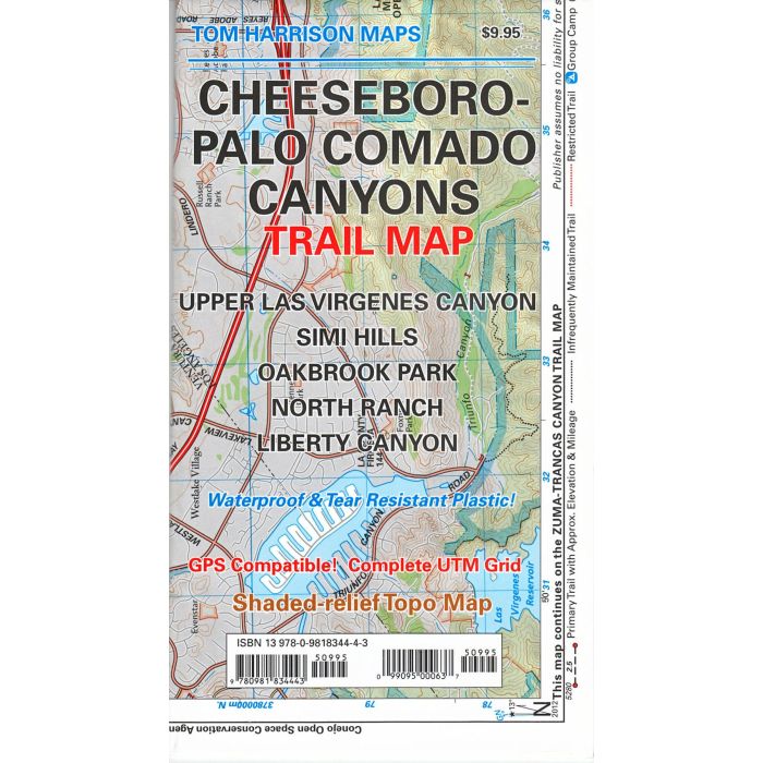
Shaded relief map printed on waterproof and tear resistant material. Scale 1:31,680 (1 inch representing 0.5 mil) This map includes the area North of the Zumas-Trancas Canyon Trail Map by the same cartographer. You may drive to it via 101 freeway and is of easy access. Features: Upper Las Virgenes Canyon, Simi Hills, Oakbrook Park, North Ranch and Liberty Canyon. GPS Compatible. Complete UTM Grid. Printed on waterproof & tear resistant plastic.