We use cookies to make your experience better. To comply with the new e-Privacy directive, we need to ask for your consent to set the cookies. Learn more
Chamonix Mont Blanc 3630 OTR Resistant
1:25000
£20.10
Temp Out Of Stock
| Cordee Code: | CMFQ07 |
|---|---|
| Page Size: | 110 x 123 mm |
| Publisher: | Ign Top 25 Maps |
| ISBN13: | 9782758554219 |
| Scale: | 1:25 000 |
| Author: | IGN Top 25 series |
| Published Date: | May 2023 |
| Edition: | 3rd ed, 2023 |
| Binding: | Sheet Map (folded) |
| Illustrations: | Colour |
| Weight: | 79g |
| Geoarea: | Alps Western (france, Switzerland, And Italy) |
| Product Type: | Map |
| Countries: | France |
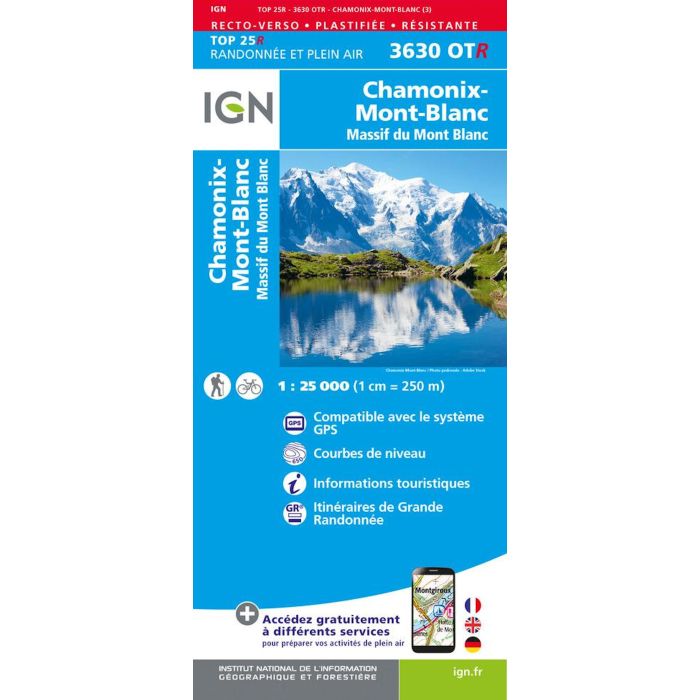
Map No. 3630OTR, Chamonix - Massif du Mont Blanc area of the French Alps, double-sided waterproof and tear-resistant version in the TOP25 edition of IGN's excellent, detailed topographic survey of France at 1:25,000, with an overprint highlighting hiking paths, long-distance GR routes, campsites and other tourist information, plus a GPS compatible UTM grid. The map shows the northern section of the massif, extending south to the main peak of Mont Blanc, and covers the northern half of the Tour du Mont Blanc (TMB) from Val Ferret in Italy (just north of Courmayeur), across Switzerland, to Chamonix.