We use cookies to make your experience better. To comply with the new e-Privacy directive, we need to ask for your consent to set the cookies. Read our privacy and security policy

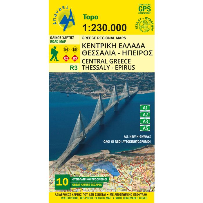
Central Greece Road Map R3
Thessaly - Epirus
£10.50
In Stock
Usually dispatched within 24 hrs. Free delivery to UK for orders £25 and over
| Cordee Code: | CMG222 |
|---|---|
| Page Size: | 130 x 230 mm |
| Publisher: | Anavasi |
| ISBN13: | 9789609412063 |
| Scale: | 1:230,000 |
| Edition: | 2026 |
| Binding: | Sheet Map (folded) |
| Weight: | 100g |
| Product Type: | Map |
| Countries: | Greece |
Central Greece at 1:250,000 on a light, waterproof and tear resistant indexed road map from Anavasi, highlighting ten areas of particular natural beauty.
Coverage includes the most popular hiking regions of the Pindos Mountains, Mount Olympus and Mount Parnassos, extending from Thebes (Thiva) in the south to Kozani and Katerini, including Igoumenitsa, Ioannina, Trikala, Arta, Agrinio, Mesolongi, Larissa, Volos and Lamia. Place names are in both Greek and Latin alphabet. Altitude colouring with relief shading and plenty if names of mountain ranges and peaks provides an excellent presentation of the region's mountainous topography. The map indicates minor unsurfaced roads and dirt tracks in poor condition, and shows locations of petrol stations.
Driving distances are marked in main routes. The map also includes railway lines and administrative boundaries and highlights the course of the Greek and European long-distance hiking trails. Symbols indicate various places of interest including archaeological remains, historical sites, beaches, etc. The map has a 5-km UTM grid plus latitude and longitude crosshairs.
The index, in both alphabets, in is a removable protective cover. Map legend includes English. A special feature of this title are descriptions of 10 areas specially selected for their natural beauty. The map is part of Anavasi's coverage of the Peloponnese and mainland Greece at 1:200,000/1:250,000.