We use cookies to make your experience better. To comply with the new e-Privacy directive, we need to ask for your consent to set the cookies. Learn more
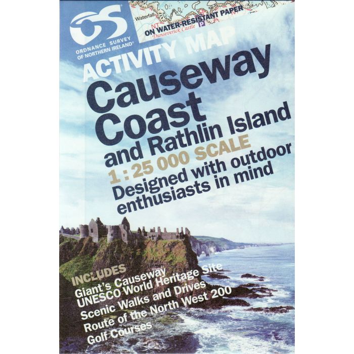
Causeway Coast and Rathlin Island Ireland Activity map 1250
Including Giants Causeway WATER-RESISTANT PAPER
£10.99
Temp Out Of Stock
| Cordee Code: | CME190 |
|---|---|
| Page Size: | 138 x 210 mm |
| Publisher: | Os (ireland Maps) |
| ISBN13: | 9781905306855 |
| Scale: | 1:25,000 |
| Published Date: | October 2016 |
| Edition: | 2016 edition |
| Binding: | Sheet Map (folded) In Wallet |
| Weight: | 110g |
| Product Type: | Map |
| Countries: | United Kingdom |
The OSNI Causeway Coast and Rathlin Island Activity Map provides a guide to the spectacular northern coastline, covering many of Northern Ireland's better known tourist attractions, from Magilligan Point to Torr Head and Rathlin Island.
Designed for outdoor enthusiasts, the map shows features such as waymarked walks, surfing beaches and canoe trail access points.
As well as the Giant's Causeway, it enables visitors to explore Rathlin Island, home of Northern Ireland's biggest seabird colony.
Designed for outdoor enthusiasts, the map shows features such as waymarked walks, surfing beaches and canoe trail access points.
As well as the Giant's Causeway, it enables visitors to explore Rathlin Island, home of Northern Ireland's biggest seabird colony.


