We use cookies to make your experience better. To comply with the new e-Privacy directive, we need to ask for your consent to set the cookies. Read our privacy and security policy

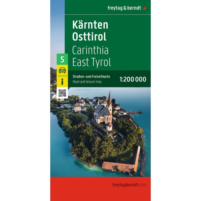
Carinthia East Tyrol, Road and Leisure Map 1:200000
£12.90
In Stock
Usually dispatched within 24 hrs. Free delivery to UK for orders £25 and over
| Cordee Code: | FB1792 |
|---|---|
| Page Size: | 130 x 255 mm |
| No of Pages: | 2 |
| Publisher: | Freytag & Berndt |
| ISBN13: | 9783991546771 |
| Scale: | 1:20,000 |
| Published Date: | November 2026 |
| Edition: | 2026 |
| Binding: | Sheet Map (folded) |
| Weight: | 100g |
| Product Type: | Map |
| Countries: | Austria |
The road and leisure map Carinthia - East Tyrol on a scale of 1:200,000 is the ideal map for planning and orientation thanks to the precise cartography from freytag & berndt. The dense road network is depicted in great detail, tourist routes and scenic routes are highlighted in color and many excursion destinations are shown directly on the map.
Information on the road and leisure map Carinthia - East Tyrol
Scale 1:200,000
Camping and RV sites
Tourist streets
Long-distance hiking trails
City center plans for Klagenfurt and Lienz
The car map "Carinthia - East Tyrol" is sheet 5 of the series: Austria 1:200,000.
Information on the road and leisure map Carinthia - East Tyrol
Scale 1:200,000
Camping and RV sites
Tourist streets
Long-distance hiking trails
City center plans for Klagenfurt and Lienz
The car map "Carinthia - East Tyrol" is sheet 5 of the series: Austria 1:200,000.