We use cookies to make your experience better. To comply with the new e-Privacy directive, we need to ask for your consent to set the cookies. Learn more
Capitol Reef Day Hikes and National Park Bundle
2 Map set
£24.95
In Stock
Usually dispatched within 24 hrs. Free delivery to UK for orders £25 and over
| Cordee Code: | NG0901 |
|---|---|
| Page Size: | 110 x 230 mm |
| No of Pages: | 1 |
| Publisher: | National Geographic Maps |
| ISBN13: | 9781566959773 |
| Published Date: | April 2025 |
| Edition: | April 2025 |
| Binding: | Sheet Map (folded) |
| Weight: | 180g |
| Product Type: | Map |
| Countries: | United States of America |
? Waterproof ? Tear-Resistant ? Topographic Maps
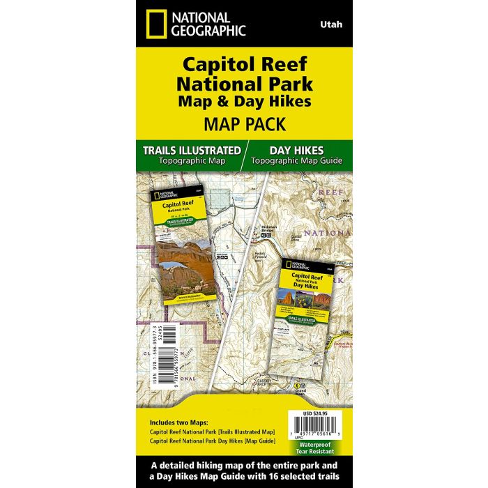
Capitol Reef National Park is a hidden gem located in the Waterpocket Fold, a wrinkle in the earth that extends nearly 100 miles through south-central Utah's red rock country. National Geographic's Trails Illustrated map of Capitol Reef provides unmatched detail of the park to meet the needs of amateur and experienced outdoor enthusiasts alike. Created in partnership with local land management agencies, this expertly researched map features the entire park as well as adjacent areas of interest including Anasazi State Park and portions of Fishlake National Forest, Grand Staircase-Escalante National Monument, and Dixie National Forest.
The Capitol Reef National Park Day Hikes Topographic Map Guide includes sixteen diverse hikes for all hiking enthusiasts, the hikes range in difficulty and distance to help hikers select the best trail for their timing, abilities, and location within the parks. Each hike has a detailed map, a trail profile visualizing the changes in elevation, and a short summary of the interesting features encountered along the trip.
Buy the Map Pack and save 15%!
The Capitol Reef Day Hikes and National Park Map Pack includes:
Map 267 :: Capitol Reef National Park
Map 1720 :: Capitol Reef Day Hikes
Every Trails Illustrated map is printed on "Backcountry Tough" waterproof, tear-resistant paper. A full UTM grid is printed on the map to aid with GPS navigation