We use cookies to make your experience better. To comply with the new e-Privacy directive, we need to ask for your consent to set the cookies. Learn more
Canyons of the Escalante Map
Trails Illustrated Maps
£14.95
Temp Out Of Stock
| Cordee Code: | NG0458 |
|---|---|
| Publisher: | National Geographic Maps |
| ISBN13: | 9781566953245 |
| Binding: | Sheet Map (folded) |
| Weight: | 100g |
| Product Type: | Map |
| Countries: | United States of America |
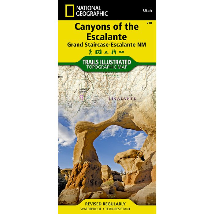
Waterproof Tear-Resistant Topographic MapAt over 1.7 million acres, Grand Staircase-Escalante National Monument encompasses the largest land area of all national monuments in the United States. National Geographic's Trails Illustrated map of Canyons of the Escalante delivers unmatched detail and valuable information to assist you in your exploration of this remote and colorful wilderness. Expertly researched and created in partnership with local land management agencies, this map features key points of interest including Fiftymile Bench, Escalante Petrified Forest State Park, Anasazi State Park Museum, and Horse Canyon. Hiking route summaries will guide you off the beaten path and back again and high clearance and four-wheel-drive roads are clearly marked to keep you out of trouble. River mileage on the Escalante River is noted as well, for those exploring the canyons by boat. The map base includes contour lines and elevations for summits. Recreation features include campgrounds, trailheads, picnic areas, points of interest, fishing access, and boat launches.Every Trails Illustrated map is printed on "Backcountry Tough" waterproof, tear-resistant paper. A full UTM grid is printed on the map to aid with GPS navigation.Other features found on this map include: Box-Death Hollow Wilderness, Capitol Reef National Park, Circle Cliffs, Dixie National Forest, Escalante River, Fiftymile Mountain, Glen Canyon National Recreation Area, San Juan River, Smoky Mountain, Straight Cliffs.
-
 Uncompahgre Plateau North Map Uncompahgre National ForestTrails Illustrated Maps£14.95
NG0405
In Stock -