We use cookies to make your experience better. To comply with the new e-Privacy directive, we need to ask for your consent to set the cookies. Learn more
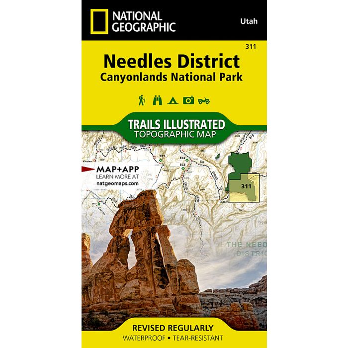
Canyonlands National Park Needles Map
Trails Illustrated Maps
£11.95
In Stock
Usually dispatched within 24 hrs. Free delivery to UK for orders £25 and over
| Cordee Code: | NG0267 |
|---|---|
| Page Size: | 100 x 190 mm |
| Publisher: | National Geographic Maps |
| ISBN13: | 9781566954617 |
| Binding: | Sheet Map (folded) |
| Weight: | 100g |
| Product Type: | Map |
| Countries: | United States of America |
Waterproof Tear-Resistant Topographic MapForming the southeast corner of Canyonlands National Park, the Needles District is known for its colorful sandstone spires, challenging backcountry roads and extensive trail system. Expertly researched and created in partnership with the National Park Service, Bureau of Land Management and others, National Geographic's Trails Illustrated map of Needles District is a complete travel guide to this section of the park and neighboring Dark Canyon and Butler Wash Wilderness areas. The provided backcountry regulations, permit information and safety tips will assist in preparing for your adventure. The hiking trail and backcountry road guides, with route descriptions and mileage, will help you chose the most suitable path.Navigate the area with clearly marked trails and backcountry roads that include mileages between intersections. To assist you, the map base includes contour lines, elevations, shaded relief and water features. River mileage on the Colorado River is noted as well, for those exploring by boat. Mountain bike routes are marked with their degree of difficulty. Some of the many recreation features are campgrounds and campsites, scenic overlooks, and boat launch sites. Every Trails Illustrated map is printed on "Backcountry Tough" waterproof, tear-resistant paper. A full UTM grid is printed on the map to aid with GPS navigation.Other features found on this map include: Canyonlands National Park, Glen Canyon National Recreation Area, Green River.