We use cookies to make your experience better. To comply with the new e-Privacy directive, we need to ask for your consent to set the cookies. Learn more
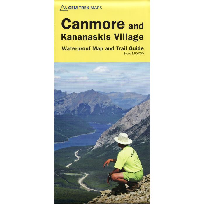
Canmore and Kananaskis Village map and trail guide 150000
includes inset 1:25,000 Kananaskis Village area
£12.99
Temp Out Of Stock
| Cordee Code: | CMA406 |
|---|---|
| Publisher: | Gem Trek |
| ISBN13: | 9781895526905 |
| Language: | English |
| Published Date: | February 2006 |
| Edition: | 7th Edition |
| Binding: | Map And Guide |
| Weight: | 100g |
| Product Type: | Map and Guide |
| Countries: | Canada |
This map covers some of the most popular terrain for hikers and mountain bikers in Kananaskis Country - Bow Valley Provincial Park, the Canmore area, the Smith-Dorrien/Spray Lakes area south to Mount Shark trailhead, Barrier Lake, and the Kananaskis Village area from Ribbon Creek south to Galatea Lakes trailhead.
Popular trails covered on this map include Grassi Lakes, Yamnuska, Barrier Lake Lookout, Mt. Allen via Centennial Ridge (the highest maintained trail in the Canadian Rockies), Ribbon Falls and Ribbon Lake, Lillian and Galatea lakes, Karst Spring and Buller Pass.
On the back of the map are trail descriptions and photos of 14 highly recommended day hikes, three overnight trips and six classic mountain bike rides, as well as three areas recommended for cross-country skiing. Also on the back is a 1:25 000-scale inset map of the Kananaskis Village-Ribbon Creek area, as well as contact information for visitor centres, campgrounds, hotels and lodges.
In addition to the standard features, this map a

