We use cookies to make your experience better. To comply with the new e-Privacy directive, we need to ask for your consent to set the cookies. Learn more
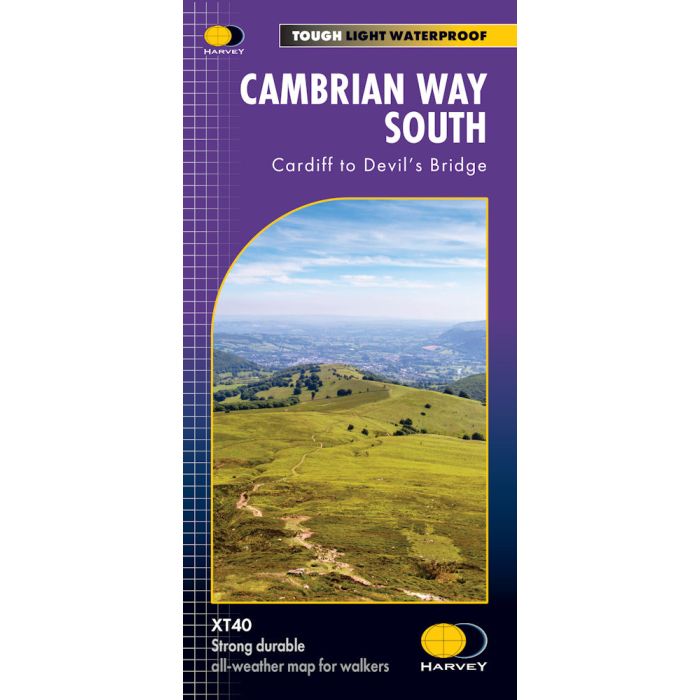
Cambrian Way South
Cardiff to Devil's Bridge
£17.95
In Stock
Usually dispatched within 24 hrs. Free delivery to UK for orders £25 and over
| Cordee Code: | CMH391 |
|---|---|
| Publisher: | Harvey Maps |
| ISBN13: | 9781851376889 |
| Scale: | 1:40 000 |
| Author: | Harvey Maps |
| Published Date: | April 2025 |
| Edition: | 1st, April 2025 |
| Binding: | Sheet Map (folded) In Wallet |
| Weight: | 70g |
| Geoarea: | Cambrian Mountains |
| Product Type: | Map |
The Cambrian Way is a challenging 479km (298 miles) long distance route along the spine of Wales, from Cardiff in the South to Conwy in the North.
- The entire route across two maps; including sections through Bannau Brycheiniog
- National Park, the Cambrian Mountains and Eryri National Park
- A good week's walking on each map
- Information on accommodation and services
- Lightweight, detailed, clear and easy to read. The route is clearly highlighted in red
- Printed on tough 100% waterproof, tearproof paper
- Full map legend in English and Welsh