We use cookies to make your experience better. To comply with the new e-Privacy directive, we need to ask for your consent to set the cookies. Read our privacy and security policy

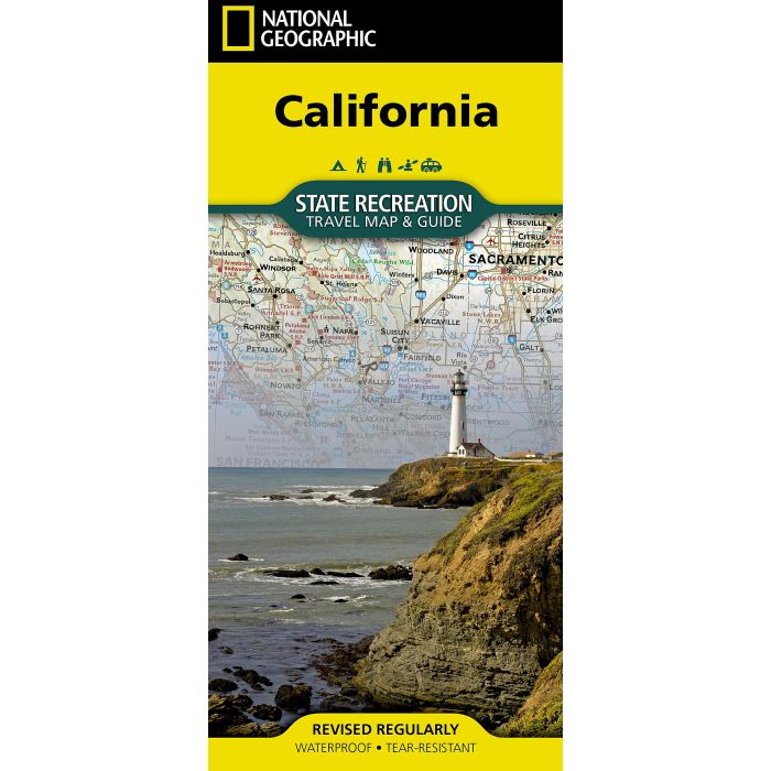
California State Recreation Map
Travel map and guide
£14.95
Not Yet Published
This title has not yet been released. You may pre-order now and we will deliver it to you when it arrives.
Contact [email protected]
Contact [email protected]
Expected: 1st December 2026
| Cordee Code: | NG0958 |
|---|---|
| Page Size: | 105 x 230 mm |
| No of Pages: | 2 |
| Publisher: | National Geographic Maps |
| ISBN13: | 9781566959841 |
| Published Date: | December 2026 |
| Edition: | 1 |
| Binding: | Sheet Map (folded) |
| Product Type: | Map |
| Countries: | United States of America |
- Waterproof - Tear-Resistant - Travel Map
Adventure awaits with National Geographic's California State Recreation Travel Map & Guide - the ultimate companion for discovering the best of California's legendary landscapes, scenic byways, and outdoor recreation. Whether you're planning a weekend escape, a cross-state road trip, or an unforgettable backcountry adventure, this expertly crafted map helps you explore with confidence.
Designed for travelers of every kind, the map divides California into three core physiographic regions - the Basin and Range, the Cascade and Sierra mountains, and the Pacific Border Ranges, with the Pacific Border Ranges and Central Valley further split into north, central, and south sections - highlighting activities such as hiking, climbing, surfing, skiing, fishing, wildlife viewing, and water sports.
Clearly displays public lands managed by federal and state agencies, including national parks, national forests, state parks and beaches, and wilderness areas.
Includes road mileages for easier navigation and trip planning
Features helpful travel information on permits, passes, and campground reservations
Detailed maps of Yosemite and Joshua Tree National Parks
Includes an overview of Highway 1 along the coast, one of the state's most scenic drives
A full list of campgrounds is linked via a QR code
Plan your perfect stay using the comprehensive campground chart, organized by land management agency so you can quickly find the ideal campsite for your adventure. From the fog-draped redwood coast and glacier-carved Sierra Nevada to the sun-scorched desert floor, the California State Recreation Travel Map & Guide helps you experience California like never before.
Every State Recreation map is printed on "Travel-Tough" waterproof, tear-resistant paper.
Adventure awaits with National Geographic's California State Recreation Travel Map & Guide - the ultimate companion for discovering the best of California's legendary landscapes, scenic byways, and outdoor recreation. Whether you're planning a weekend escape, a cross-state road trip, or an unforgettable backcountry adventure, this expertly crafted map helps you explore with confidence.
Designed for travelers of every kind, the map divides California into three core physiographic regions - the Basin and Range, the Cascade and Sierra mountains, and the Pacific Border Ranges, with the Pacific Border Ranges and Central Valley further split into north, central, and south sections - highlighting activities such as hiking, climbing, surfing, skiing, fishing, wildlife viewing, and water sports.
Clearly displays public lands managed by federal and state agencies, including national parks, national forests, state parks and beaches, and wilderness areas.
Includes road mileages for easier navigation and trip planning
Features helpful travel information on permits, passes, and campground reservations
Detailed maps of Yosemite and Joshua Tree National Parks
Includes an overview of Highway 1 along the coast, one of the state's most scenic drives
A full list of campgrounds is linked via a QR code
Plan your perfect stay using the comprehensive campground chart, organized by land management agency so you can quickly find the ideal campsite for your adventure. From the fog-draped redwood coast and glacier-carved Sierra Nevada to the sun-scorched desert floor, the California State Recreation Travel Map & Guide helps you experience California like never before.
Every State Recreation map is printed on "Travel-Tough" waterproof, tear-resistant paper.