We use cookies to make your experience better. To comply with the new e-Privacy directive, we need to ask for your consent to set the cookies. Learn more
C62 Irish Sea
£28.95
Temp Out Of Stock
| Cordee Code: | IM0156 |
|---|---|
| Page Size: | 210 x 297 mm |
| No of Pages: | 2 |
| Publisher: | Fb Imray Laurie Norie And Wilson |
| ISBN13: | 9781786791917 |
| Binding: | Sheet Map (folded) |
| Weight: | 240g |
| Product Type: | Map |
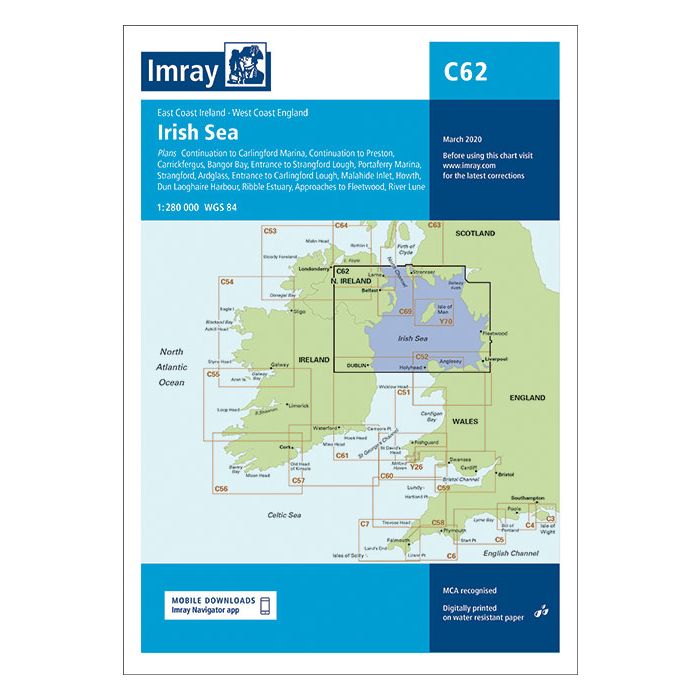
Plans included: Carrickfergus (1:15 000) Bangor Bay (1:17 500) Entrance to Strangford Lough (1:37 500) Portaferry Marina (1:7500) Strangford (1:5000) Ardglass (1:15 000) Entrance to Carlingford Lough (1:26 000) Malahide Inlet (1:35 000) Howth (1:12 500) Dun Laoghaire Harbour (1:15 000) Ribble Estuary (1:125 000) Approaches to Fleetwood (1:50 000) River Lune (1:100 000) Continuation to Carlingford Marina (1:40 000) Continuation to Preston (1:125 000) On this edition the chart specification has been improved to show coloured light flashes. Updated bathymetric Digital has been included where available. The firing practice areas have been updated. There has been general updating throughout.