We use cookies to make your experience better. To comply with the new e-Privacy directive, we need to ask for your consent to set the cookies. Learn more
C61 St Georges Channel
Anglesey to Dublin, Waterford and the Smalls
£28.95
In Stock
Usually dispatched within 24 hrs. Free delivery to UK for orders £25 and over
| Cordee Code: | IM0155 |
|---|---|
| Page Size: | 210 x 297 mm |
| No of Pages: | 2 |
| Publisher: | Fb Imray Laurie Norie And Wilson |
| ISBN13: | 9781786792143 |
| Binding: | Sheet Map (folded) |
| Weight: | 240g |
| Product Type: | Map |
| Countries: | United Kingdom |
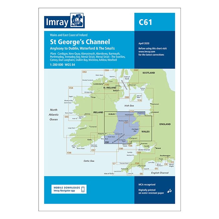
Wales to the East Coast of Ireland Plans included: Cardigan (1:40 000) New Quay (1:20 000) Aberystwyth (1:20 000) Aberdovey (1:50 000) Barmouth (1:30 000) Porthmadog (1:75 000) Tremadog Bay (1:75 000) Menai Strait (1:80 000) Menai Strait - The Swellies (1:25 000) Conwy (1:30 000) Dun Laoghaire (1:25 000) Dublin Bay (1:90 000) Wicklow (1:10 000) Arklow (1:15 000) Wexford (1:75 000) On this edition the chart specification has been improved to show coloured light flashes. The firing practice areas have been updated and the extents of the Skomer I. Marine Reserve is shown. There has been general updating throughout.