We use cookies to make your experience better. To comply with the new e-Privacy directive, we need to ask for your consent to set the cookies. Learn more
C48 A Coruna to Porto
Atlantic Coasts of Spain and Portugal
£28.95
In Stock
Usually dispatched within 24 hrs. Free delivery to UK for orders £25 and over
| Cordee Code: | IM0154 |
|---|---|
| Page Size: | 210 x 297 mm |
| No of Pages: | 2 |
| Publisher: | Fb Imray Laurie Norie And Wilson |
| ISBN13: | 9781786792037 |
| Binding: | Sheet Map (folded) |
| Weight: | 240g |
| Product Type: | Map |
| Countries: | Spain |
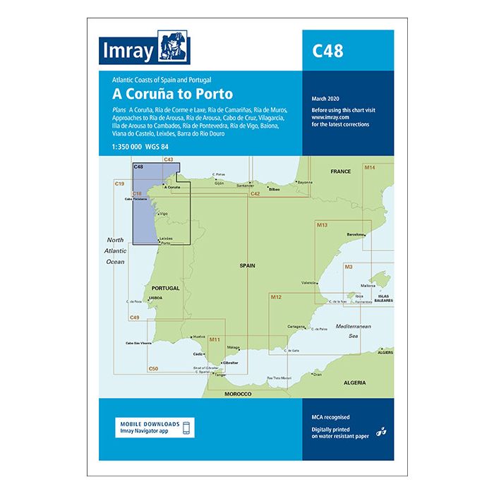
Chart scale 1: 350 000 Plans included: A Coru?a (1:50 000) R?a de Corme e Laxe (1:75 000) R?a de Camari?as (1:50 000) R?a de Muros (1:75 000) Approaches to R?a de Arousa (1:150 000) R?a de Arousa (1:150 000) Cabo de Cruz (1:40 000) Vilagarc?a (1:35 000) Illa de Arousa to Cambados (1:40 000) R?a de Pontevedra (1:150 000) R?a de Vigo (1:150 000) Baiona (1:85 000) Viana do Castelo (1:30 000) Leix?es (1:20 000) Barra do Rio Douro (1:20 000)) On this edition the chart specification has been improved to show coloured light flashes. There have been numerous updates to harbour developments across the chart. The plan of R?a de Camari?as has been extended westward to include a larger scale approach and full charting of Las Quebrantas bank. There has been general updating throughout.