We use cookies to make your experience better. To comply with the new e-Privacy directive, we need to ask for your consent to set the cookies. Learn more
C31 Dover Strait to Le Havre
Eastern English Channel
£28.95
In Stock
Usually dispatched within 24 hrs. Free delivery to UK for orders £25 and over
| Cordee Code: | IM0128 |
|---|---|
| Page Size: | 210 x 297 mm |
| No of Pages: | 2 |
| Publisher: | Fb Imray Laurie Norie And Wilson |
| ISBN13: | 9781786791023 |
| Scale: | 1:200 000 |
| Edition: | Feb 2024 |
| Binding: | Sheet Map (folded) |
| Weight: | 180g |
| Product Type: | Map |
| Countries: | France |
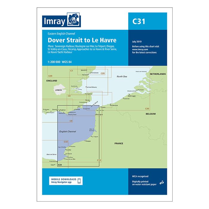
Plans included: Sovereign Harbour (1:20 000) Boulogne-sur-Mer (1:25 000) Le Tr?port (1:17 500) Dieppe (1:17 500) St-Val?ry-en-Caux (1:12 500) F?camp (1:15 000) Approaches to Le Havre & River Seine (1:100 000) Le Havre Yacht Harbour (1:10 000) On this edition the chart specification has been improved to show coloured light flashes. Depths have been updated from the latest available surveys. The firing practice areas and marine reserves have also been updated. There has been general updating throughout.