We use cookies to make your experience better. To comply with the new e-Privacy directive, we need to ask for your consent to set the cookies. Learn more
C27 Firth of Forth
£28.95
Temp Out Of Stock
| Cordee Code: | IM0108 |
|---|---|
| Page Size: | 210 x 297 mm |
| No of Pages: | 2 |
| Publisher: | Fb Imray Laurie Norie And Wilson |
| ISBN13: | 9781786790590 |
| Binding: | Sheet Map (folded) |
| Weight: | 240g |
| Product Type: | Map |
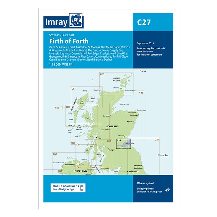
Plans included: St Andrews (1:7500) Crail (1:7500) Anstruther (1:7500) St Monans (1:7500) Elie (1:10 000) Methil Docks (1:11 000) Pettycur & Kinghorn (1:17 500) Inchkeith (1:25 000) Burntisland (1:20 000) Aberdour (1:12 500) Inchcolm (1:15 000) Dalgety Bay (1:15 000) Inverkeithing (1:15 000) North Queensferry & Port Edgar (1:20 000) Charlestown & Limekilns (1:15 000) Grangemouth & Entrance to River Carron (1:17 500) Continuation to Forth & Clyde Canal Entrance (1:17 500) Granton (1:12 500) Fisherrow (1:12 500) North Berwick (1:7500) Dunbar (1:7500) On this edition the chart specification has been improved to show coloured light flashes. Depths have been updated from the latest surveys where available. Additional tidal stream Digital has been added. There has been general updating throughout.