We use cookies to make your experience better. To comply with the new e-Privacy directive, we need to ask for your consent to set the cookies. Learn more
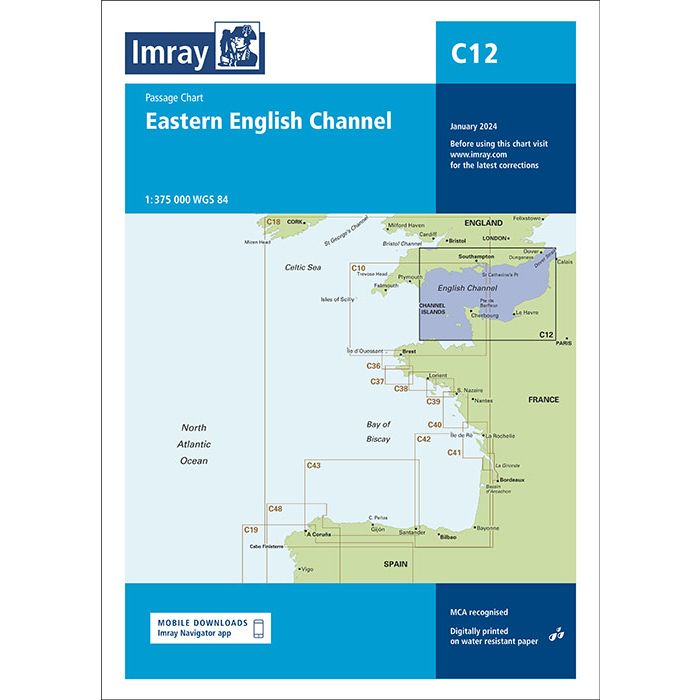
C12 Eastern English Channel Passage Chart
£28.95
In Stock
Usually dispatched within 24 hrs. Free delivery to UK for orders £25 and over
| Cordee Code: | IM0271 |
|---|---|
| Page Size: | 210 x 297 mm |
| No of Pages: | 2 |
| Publisher: | Fb Imray Laurie Norie And Wilson |
| ISBN13: | 9781786794628 |
| Binding: | Sheet Map (folded) |
| Weight: | 240g |
| Product Type: | Map |
| Countries: | France |
This chart has been reschemed alongside C10 Western English Channel Passage Chart so that both charts provide seamless coverage of the English Channel at the same scale (1:375,000). Coverage on this chart allows for passage planning in the Eastern English Channel, from Start Point eastwards along the English coast, and from the Channel Islands eastwards along the French coast, to the Dover Strait. The latest official UKHO Digital is included, combined with additional information sourced from Imray's network to make it ideal for small craft. The chart has been fully revised throughout.