We use cookies to make your experience better. To comply with the new e-Privacy directive, we need to ask for your consent to set the cookies. Learn more
Buffalo Creek Mountain Bike Trails Map
Trails Illustrated Maps
£11.95
In Stock
Usually dispatched within 24 hrs. Free delivery to UK for orders £25 and over
| Cordee Code: | NG0412 |
|---|---|
| Page Size: | 100 x 190 mm |
| Publisher: | National Geographic Maps |
| ISBN13: | 9781597756204 |
| Binding: | Sheet Map (folded) |
| Weight: | 94g |
| Product Type: | Map |
| Countries: | United States of America |
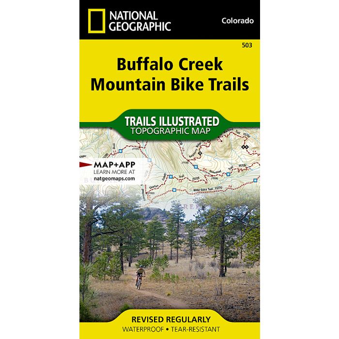
Waterproof Tear-Resistant Topographic MapIn the spring of 1996 wildfire roared through the Buffalo Creek area. Soon after a group of dedicated mountain bikers, working with the US Forest Service, started building an extensive network of trails. Those trails now cover almost 100 miles of mixed terrain from thickly wooded hillsides to open plains with the remnants of matchstick like tree trunks left from the fires. The Buffalo Creek Mountain Bike Trails map is a detailed resource for mountain bikers with ratings and clearly marked singletrack and double track trails.The back side of the printed map includes a group of selected loops and trails for all riding abilties from beginner to expert. Each suggested ride has a trail profile that clearly shows the climbs and decents as well as trail crossings and other waypoints along the way. The rides also include turn by turn directions and commentary on interesting landmarks along the way.No matter what your riding skill, from novice to rock hopping daredevil, the Buffalo Creek Mountain Bike Trails map has miles of rides for everyone.Every Trails Illustrated map is printed on "Backcountry Tough" waterproof, tear-resistant paper. A full UTM grid is printed on the map to aid with GPS navigation.Other features found on this map include: Pike National Forest.