We use cookies to make your experience better. To comply with the new e-Privacy directive, we need to ask for your consent to set the cookies. Learn more
Bohemian Forest Hiking Cycling and Leisure Map
WK 262 1:50,000
£12.90
In Stock
Usually dispatched within 24 hrs. Free delivery to UK for orders £25 and over
| Cordee Code: | FB1640 |
|---|---|
| Page Size: | 100 x 205 mm |
| Publisher: | Freytag & Berndt |
| ISBN13: | 9783707920666 |
| Published Date: | July 2024 |
| Edition: | 2024 |
| Binding: | Sheet Map (folded) |
| Weight: | 50g |
| Product Type: | Map |
| Countries: | Austria |
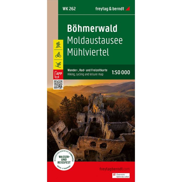
Thanks to the detailed digital cartography and the precise scales, freytag & berndt hiking maps are ideal companions for hiking, mountain climbing and ski tours.
They are regularly revised and contain updated information on hiking trails, cycling and mountain bike routes, huts, natural monuments, cultural sights and leisure facilities. The enclosed information booklet contains a selection of the best hiking trails, cycling paths and mountain bike routes as well as a brief description of the individual communities and their leisure activities. (Language: German) Leisure information, hiking and long-distance hiking trails, mountain bike and cycle tours, local register with postcodes, GPS compatible, cross-country skiing route, Nordic walking route;
Weight:99 g
Publisher:Freytag-Berndt and Artaria
Series:freytag & berndt hiking-cycling-leisure maps
Scale:1:50000
Product Type:Maps
Language:German
EAN:9783707920666
Year of publication:2024