We use cookies to make your experience better. To comply with the new e-Privacy directive, we need to ask for your consent to set the cookies. Learn more
Uberlinger Lake Lower see
£8.90
In Stock
Usually dispatched within 24 hrs. Free delivery to UK for orders £25 and over
| Cordee Code: | FB1140 |
|---|---|
| Page Size: | 90 x 200 mm |
| Publisher: | Freytag & Berndt |
| ISBN13: | 9783747303986 |
| Binding: | Sheet Map (folded) |
| Weight: | 70g |
| Product Type: | Map |
| Countries: | Germany |
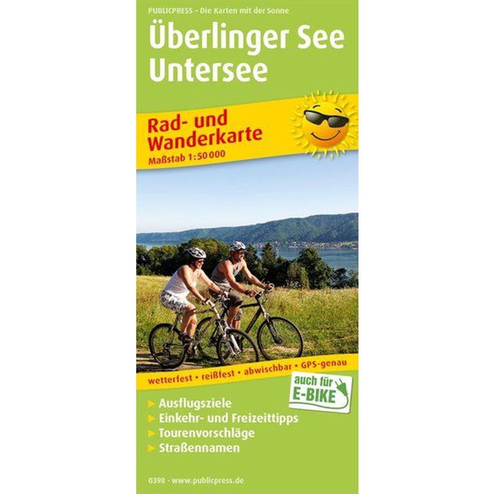
The cycling and hiking map provides comprehensive information about the western part of Lake Constance and the Untersee, which is connected to it near Konstanz. Many cycling and hiking trails are marked in the map section, which often run close to the shore and cross borders (Switzerland, Austria). The cycling and hiking trails that touch the island of Reichenau or lead through the mountainous hinterland are also attractive. The back of the cycling and hiking map provides concise information about places and leisure activities. This also offers an additional card with a connection to Friedrichshafen.