We use cookies to make your experience better. To comply with the new e-Privacy directive, we need to ask for your consent to set the cookies. Learn more
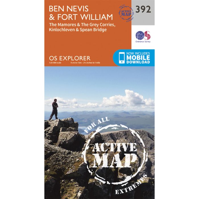
Ben Nevis and Fort William, The Mamores and The Grey Corries, Kinlochleven and Spean Bridge
OS Explorer - Active Map 392
£16.99
In Stock
Usually dispatched within 24 hrs. Free delivery to UK for orders £25 and over
| Cordee Code: | EXL392 |
|---|---|
| Page Size: | 137 x 240 mm |
| Publisher: | Ordnance Survey |
| ISBN13: | 9780319472552 |
| Published Date: | September 2015 |
| Edition: | 2015 ed |
| Binding: | Sheet Map (folded) |
| Weight: | 210g |
| Product Type: | Map |
| Countries: | United Kingdom |
OS Explorer is the Ordnance Survey's most detailed map and is recommended for anyone enjoying outdoor activities such as walking, horse riding and off-road cycling. The series provides complete GB coverage and can now be used in all weathers thanks to OS Explorer - Active, a tough, versatile version of OS Explorer. The OS Explorer Active range now includes a digital version of the paper map, accessed through the OS smartphone app, OS Maps.