We use cookies to make your experience better. To comply with the new e-Privacy directive, we need to ask for your consent to set the cookies. Learn more
Belfast 15 1:50,000
Discoverer 15
£10.99
In Stock
Usually dispatched within 24 hrs. Free delivery to UK for orders £25 and over
Belfast, map No. 15 in the Discoverer series from the Ordnance Survey of Northern Ireland presenting the country on detailed topographic maps at 1:50,000 with waymarked hiking trails, Sustrans National Cycle Network and other tourist information.
| Cordee Code: | CME115 |
|---|---|
| Page Size: | 115 x 180 mm |
| No of Pages: | 1 |
| Publisher: | Os (ireland Maps) |
| ISBN13: | 9781911643050 |
| Language: | English |
| Published Date: | August 2024 |
| Edition: | 2024 |
| Binding: | Sheet Map (folded) |
| Weight: | 60g |
| Product Type: | Map |
| Countries: | Ireland |
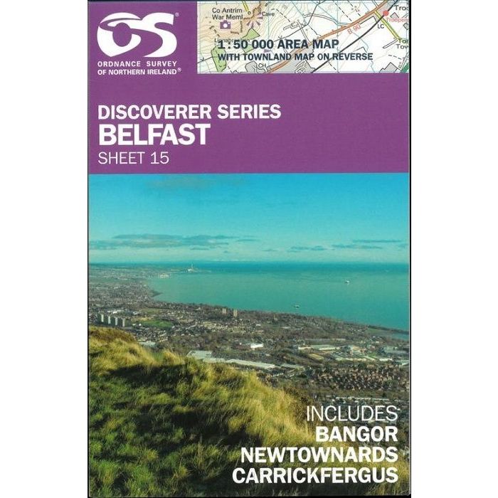
overage includes Bangor, Newtownards and Carrickfergus. Current edition G; publication date June 2013. Maps in the Discoverer series have contours at 10m intervals, with plenty of spot heights and bold altitude colouring above 150m. Graphics indicate different types of woodlands. In coastal areas the maps show high and low water mark, cliffs, mud/shingle or sand, etc. Road network grades minor roads according to their widths, includes local tracks and shows gradients on steep routes. Railways are shown with stations and the maps include other details expected of topographic mapping at this scale. An overprint highlights waymarked walking trails as well as cycle routes of the Sustrans National Cycle Network. Boundaries of National Trust land are marked, indicating areas with limited opening. Places of interest are prominently highlighted and a range of symbols provide other tourist information including camping or caravan sites and youth hostels, bus stations, parking, picnic areas, viewpoints, gold courses, etc. Each map covers an area of 40 x 30km (25 x 19 miles approximately) and has a 1km Irish Grid, plus latitude and longitude margin ticks at 1'' intervals. Map legend is English, French and German. On the reverse each sheet has an indexed monochrome map showing townland boundaries.
Other titles of interest:
Useful maps
-
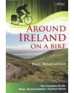 Around Ireland on a BikeThe complete guide: maps, accommodation, practical advice£13.99
CCY125
Temp Out Of Stock