We use cookies to make your experience better. To comply with the new e-Privacy directive, we need to ask for your consent to set the cookies. Learn more
Basingstoke Canal and River Wey Navigations
£7.50
In Stock
Usually dispatched within 24 hrs. Free delivery to UK for orders £25 and over
| Cordee Code: | CTK794 |
|---|---|
| Page Size: | 141 x 221 mm |
| No of Pages: | 2 |
| Publisher: | Heron Maps Consignment |
| ISBN13: | 9781908851338 |
| Published Date: | June 2025 |
| Edition: | 2025 |
| Binding: | Sheet Map (folded) |
| Illustrations: | Colour mapping |
| Weight: | 60g |
| Product Type: | Map |
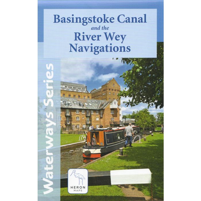
This map gives detailed coverage of the Basingstoke Canal and River Wey Navigations with emphasis on the waterways and information useful and relevant to users of the waterways without neglecting other leisure users. The map detail is complimented by information panels and photographs.
The Basingstoke Canal winds through the heart of Hampshire and Surrey, offering 32 miles of peaceful cruising, rich wildlife and unspoilt English countryside. It runs from Greywell in Hampshire to Byfleet in Surrey where it meets the River Wey Navigation.
The picturesque River Wey Navigation stretches 20 miles from the River Thames at Weybridge south to Guildford. From there it continues a further 4 miles south to Godalming along the Godalming Navigation.
A tourist map of the Basingstoke Canal and River Wey Navigations at 1:45,000, with detailed town plans at 1:12,500 for Fleet, Odiham, Woking, Guildford, and Godalming.
The map includes navigation and historical information, visitor moorings, marinas and boatyards, boat hire centres, facilities for the boat user, shops and distance markers. Information for visitors includes tourist information centres, places of interest, pubs, nature reserves, parks, churches, long distance footpaths, public toilets and caravan and camp sites.