We use cookies to make your experience better. To comply with the new e-Privacy directive, we need to ask for your consent to set the cookies. Learn more
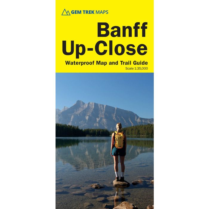
Banff UpClose Map
Waterproof trail map and guide in one
£9.95
In Stock
Usually dispatched within 24 hrs. Free delivery to UK for orders £25 and over
| Cordee Code: | CMA633 |
|---|---|
| Page Size: | 101 x 228 mm |
| Publisher: | Summerthought Publishing |
| ISBN13: | 9781990161148 |
| Scale: | 1:35 000 |
| Published Date: | May 2025 |
| Edition: | 4th: May 2025 |
| Binding: | Sheet Map (folded) |
| Weight: | 50g |
| Product Type: | Map |
| Countries: | Canada |
Designed for both locals and visitors, Gem Trek's 1:35,000 Banff Up-Close Map is a detailed relief-shaded topographic map of the Banff area. All hiking and biking trails are labeled, and distances are marked. Like all Gem Trek maps, the Banff Up-Close Map features detailed cartography and accurate hiking trails with distances, elevation gain, and directions to the trailhead noted. An inset on the back increases coverage of downtown Banff, with museums and all streets marked. Also on the flipside are descriptions of the sights, museums and scenic drives in Banff. We've also included a hand-picked list of the best seven walks and day hikes in the area. The highlights of each trail are noted, as well as distance, elevation gain and directions to the trailhead.
The Banff Up-Close Map focuses its coverage on the town of Banff, at the south end of Banff National Park in the Canadian Rockies. Coverage extends from the Sunshine Village turnoff in the west, to Lake Minnewanka in the north and east, to the Banff Gondola in the south. Popular hiking trails on the Banff Up-Close Map include Sundance Canyon, Stewart Canyon, the Hoodoos, Tunnel Mountain, and Cory Pass. The map also has detailed information on the town's museums and historic sites. For coverage of a larger area of Banff National Park, see Gem Trek's Banff and Mount Assiniboine Map.
The Banff Up-Close Map focuses its coverage on the town of Banff, at the south end of Banff National Park in the Canadian Rockies. Coverage extends from the Sunshine Village turnoff in the west, to Lake Minnewanka in the north and east, to the Banff Gondola in the south. Popular hiking trails on the Banff Up-Close Map include Sundance Canyon, Stewart Canyon, the Hoodoos, Tunnel Mountain, and Cory Pass. The map also has detailed information on the town's museums and historic sites. For coverage of a larger area of Banff National Park, see Gem Trek's Banff and Mount Assiniboine Map.