We use cookies to make your experience better. To comply with the new e-Privacy directive, we need to ask for your consent to set the cookies. Learn more
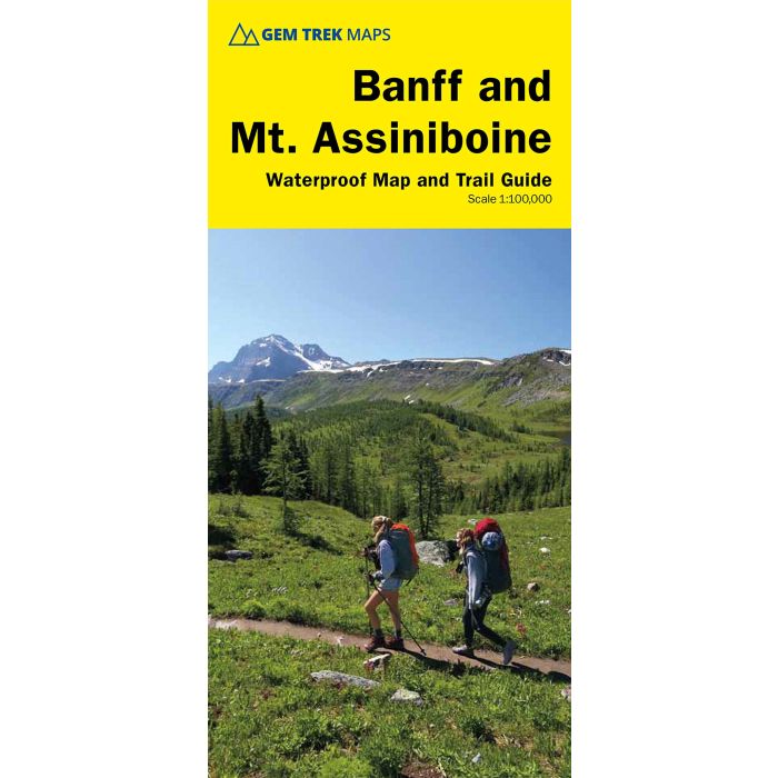
Banff and Mount Assiniboine hiking map and guide 1100000
includes inset 1:50,000 Mount Assiniboine
£12.99
Temp Out Of Stock
| Cordee Code: | CMA405 |
|---|---|
| Publisher: | Gem Trek |
| ISBN13: | 9781895526981 |
| Scale: | 2:25,000 |
| Language: | English |
| Published Date: | August 2020 |
| Edition: | 9th edition |
| Binding: | Map And Guide |
| Illustrations: | illustrations |
| Weight: | 100g |
| Product Type: | Map and Guide |
| Countries: | Canada |
This map covers the most popular hiking and mountain biking terrain in Banff National Park, from Lake Louise in the north to the south end of Banff National Park, plus all of Mt. Assiniboine Provincial Park.
All of the day hikes in and around Banff townsite are covered on this map, such as Tunnel Mountain, Sundance Canyon, Bow Falls to the Hoodoos, Johnston Canyon, Castle Mountain Lookout and the network of trails at Sunshine Village. As well, the popular, multi-day hiking and equestrian loops to Egypt Lake, Shadow Lake and the Sawback Trail up through Mystic Pass are shown in their entirety.
You also get full coverage of the access routes in and out of Mt. Assiniboine Provincial Park via Sunshine Meadows and Citadel Pass, or via Bryant Creek from the Mt. Shark trailhead in Kananaskis Country.
Mountain biking enthusiasts can choose from more than ten trails, ranging from easy pedals around the townsite to longer outings such as Goat Creek Trail, Lake Minnewanka, and the Banff Trail-Rundle Riverside r


