We use cookies to make your experience better. To comply with the new e-Privacy directive, we need to ask for your consent to set the cookies. Learn more
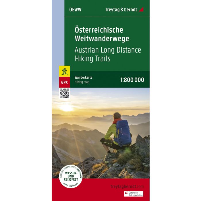
Austrian long distance routes, Hiking map 1:800000
OEWW
£12.90
In Stock
Usually dispatched within 24 hrs. Free delivery to UK for orders £25 and over
| Cordee Code: | FB1560 |
|---|---|
| Page Size: | 100 x 205 mm |
| Publisher: | Freytag & Berndt |
| ISBN13: | 9783707920574 |
| Scale: | 1:800 000 |
| Published Date: | May 2023 |
| Edition: | 2023 |
| Binding: | Sheet Map (folded) |
| Weight: | 50g |
| Product Type: | Map |
| Countries: | Austria |
Overview map of the Austrian long-distance hiking trails with an overview of the length as well as the start and end point. Format: 41 x 90 cm. Ideal for planning the next long-distance hike!
01 Nordalpenweg
02 Zentralalpenweg
03 S?dalpenweg
04 Voralpenweg
05 North-South Road
06 Mariazeller ways
07 East Austrian border route
08 Eisenwurzenweg
09 Salzsteigweg
10 Rupertiweg
Waterproof and tear-resistant
The map is printed on a special waterproof and durable paper so that it can also be used for orientation on rainy days.
Resource-saving production
The map consists of 80% ground limestone. The production is much more resource-saving than with conventional paper because the consumption of water, wood and energy is significantly lower.