We use cookies to make your experience better. To comply with the new e-Privacy directive, we need to ask for your consent to set the cookies. Read our privacy and security policy

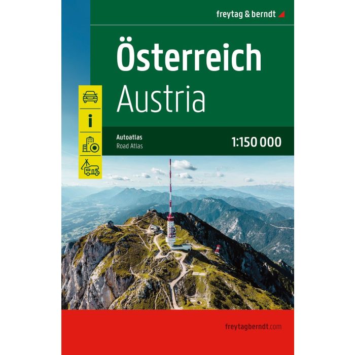
Austria Road Atlas 1:150,000
£21.90
In Stock
Usually dispatched within 24 hrs. Free delivery to UK for orders £25 and over
| Cordee Code: | FB1800 |
|---|---|
| Page Size: | 170 x 257 mm |
| No of Pages: | 200 |
| Publisher: | Freytag & Berndt |
| ISBN13: | 9783707925067 |
| Published Date: | November 2026 |
| Edition: | 2026 |
| Binding: | Sheet Map (folded) |
| Weight: | 700g |
| Product Type: | Map |
| Countries: | Austria |
In addition to the clear design, the practical car atlas Austria 1:150,000 offers a lot of additional information such as sights, campsites and lots of city maps.
Motorists and motorcyclists will appreciate the precise cartography from freytag & berndt, especially for on-site planning and orientation.
Caravan drivers and campers will find all campsites and parking spaces in this road atlas for Austria. All contact information is listed in a separate directory.
Information on the Austrian road atlas
Scale 1:150,000
Hidden spiral binding
Tourist information
Camping sites and pitches
Register of places with postcodes
63 downtown plans
Motorists and motorcyclists will appreciate the precise cartography from freytag & berndt, especially for on-site planning and orientation.
Caravan drivers and campers will find all campsites and parking spaces in this road atlas for Austria. All contact information is listed in a separate directory.
Information on the Austrian road atlas
Scale 1:150,000
Hidden spiral binding
Tourist information
Camping sites and pitches
Register of places with postcodes
63 downtown plans