We use cookies to make your experience better. To comply with the new e-Privacy directive, we need to ask for your consent to set the cookies. Learn more
Atlas of the Alps, Country Map 1:150000
£34.90
New Edition
This title has not yet been released. You may pre-order now and we will deliver it to you when it arrives.
Contact [email protected]
Contact [email protected]
Expected: 11th July 2025
| Cordee Code: | FB0496 |
|---|---|
| Page Size: | 150 x 265 mm |
| Publisher: | Freytag & Berndt |
| ISBN13: | 9783707918625 |
| Published Date: | December 2020 |
| Binding: | Sheet Map (folded) |
| Weight: | 1450g |
| Geoarea: | Alps Central Eastern Alps (austria, Switzerland, And Italy) |
| Product Type: | Map |
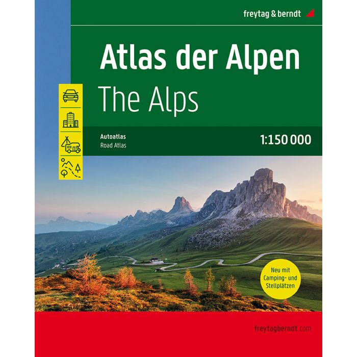
The road atlas "Atlas of the Alps 1:150,000" is the ideal companion for all those who are driving in the Alps and do not only want to use motorways and expressways. With the detailed map image and the exact scale, you can also discover secondary roads and routes that are not marked on overview maps. Scenic routes are specially highlighted. All campsites and pitches have been marked for campers and caravan enthusiasts. The coverage follows the entire arc of the Alps from Marseille in the west to Bratislava in the east. Austria and Switzerland are completely covered, all neighboring countries as far as the Alps reach. Details: place index, city maps, camping and parking space information, planning map of Europe 1:3.5 million.