We use cookies to make your experience better. To comply with the new e-Privacy directive, we need to ask for your consent to set the cookies. Read our privacy and security policy

Asia Classic Map Tubed
Reference Maps
£29.95
In Stock
Usually dispatched within 24 hrs. Free delivery to UK for orders £25 and over
| Cordee Code: | NG0606 |
|---|---|
| Page Size: | 830 x 950 mm |
| No of Pages: | 1 |
| Publisher: | National Geographic Maps |
| ISBN13: | 9780792280989 |
| Weight: | 620g |
| Product Type: | Others |
Dimensions: H97cm x W84cm
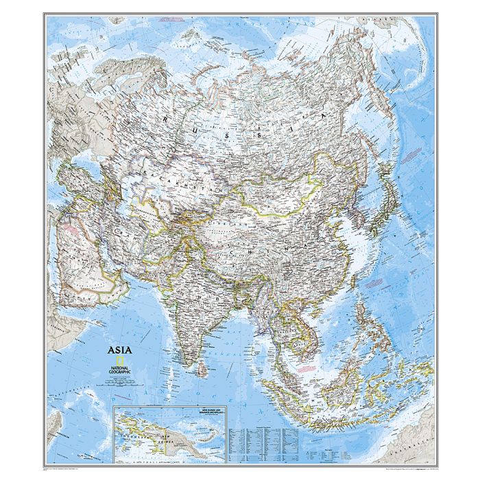
Coverage includes the whole of the European part of Russia, extending up to the North Pole. In the south-east the island of New Guinea and the Bismarck Archipelago are shown as an inset. The base map has relief shading to show the continent's topography, with additional graphics indicating deserts, swamps, glaciers, etc. The map shows the names of the numerous geographic features such as mountain ranges, deserts, peaks etc. Heights are given in feet. Country boundaries are in different colours and, where appropriate, disputed boundaries and territotial claims are marked. All place names are in English, except for some cities such as Bukhara, where the original name is shown first (Buxoro) with the English equivalent in brackets. The map also shows the networks of main road and railway connections, airports, and oil fields with pipelines. Latitude and longitude lines are drawn at 10? degrees intervals.
Coverage includes the whole of the European part of Russia, extending up to the North Pole. In the south-east the island of New Guinea and the Bismarck Archipelago are shown as an inset. The base map has relief shading to show the continent's topography, with additional graphics indicating deserts, swamps, glaciers, etc. The map shows the names of the numerous geographic features such as mountain ranges, deserts, peaks etc. Heights are given in feet. Country boundaries are in different colours and, where appropriate, disputed boundaries and territotial claims are marked. All place names are in English, except for some cities such as Bukhara, where the original name is shown first (Buxoro) with the English equivalent in brackets. The map also shows the networks of main road and railway connections, airports, and oil fields with pipelines. Latitude and longitude lines are drawn at 10? degrees intervals.