We use cookies to make your experience better. To comply with the new e-Privacy directive, we need to ask for your consent to set the cookies. Learn more
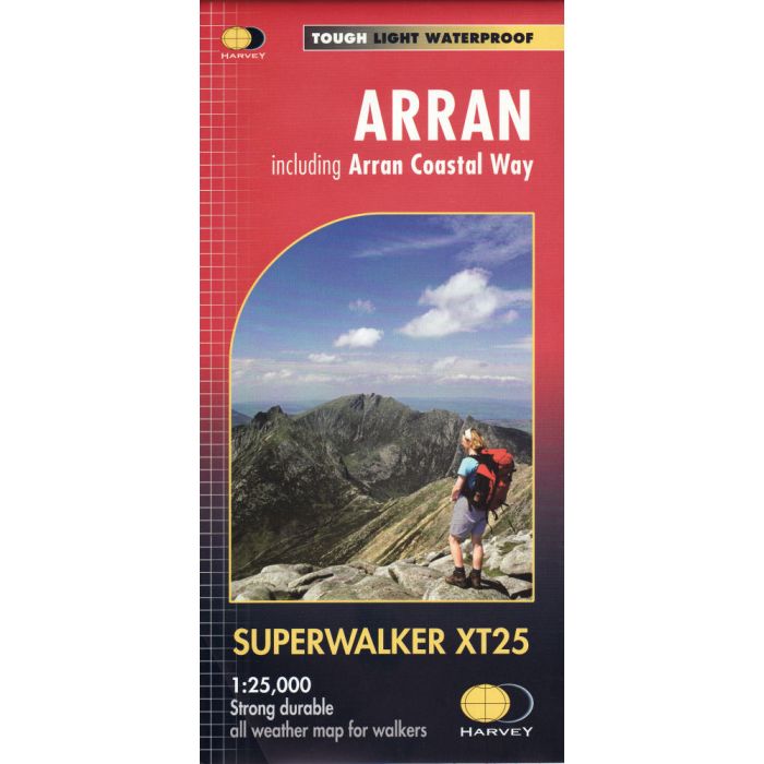
Arran Superwalker XT25 Map
inc the Arran Coastal Way Long Distance Walk
£15.95
In Stock
Usually dispatched within 24 hrs. Free delivery to UK for orders £25 and over
Experience the satisfaction of fine navigation with the Superwalker XT25, now printed on our 100% waterproof and almost indestructible paper, whatever the weather!
| Cordee Code: | CMH210 |
|---|---|
| Page Size: | 115 x 245 mm |
| Publisher: | Harvey Maps |
| ISBN13: | 9781851375264 |
| Published Date: | June 2014 |
| Edition: | June 2014 |
| Binding: | Sheet Map (folded) In Wallet |
| Weight: | 70g |
| Product Type: | Map |
| Countries: | Scotland |
New generation HARVEY Superwalker, XT25 waterproof, is designed to be the most practical tool for navigation outdoors.
-The format gives more mapping on the sheet without making the map heavy and bulky. The fold has been developed to allow you to open directly to any part, and either side of the sheet easily no more struggling in the wind.
-The Superwalker XT25 is based on original HARVEY mapping with all the information a walker would expect on a map at 1:25,000 scale. The whole of the Arran Coastal Route is also shown on this map.
-The clarity of the mapping has been improved to enable more people to read it without their glasses. The map is uncluttered by information irrelevant to the walker.
-The precise contouring and delicate hill shading give an immediate picture of the ground.
Experience the satisfaction of fine navigation with the Superwalker XT25, now printed on our 100% waterproof and almost indestructible paper, whatever the weather!

