We use cookies to make your experience better. To comply with the new e-Privacy directive, we need to ask for your consent to set the cookies. Read our privacy and security policy

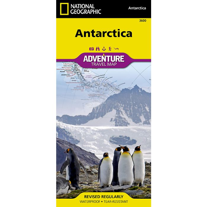
Antarctica Adventure Map
£14.95
In Stock
Usually dispatched within 24 hrs. Free delivery to UK for orders £25 and over
| Cordee Code: | NG0889 |
|---|---|
| Page Size: | 110 x 230 mm |
| No of Pages: | 1 |
| Publisher: | National Geographic Maps |
| ISBN13: | 9781566959360 |
| Published Date: | July 2026 |
| Edition: | Sept 2025 |
| Binding: | Sheet Map (folded) |
| Weight: | 75g |
| Product Type: | Map |
| Countries: | Antarctica |
- Waterproof - Tear-Resistant - Travel Map
Anchoring the bottom of the world, Antarctica is a land of stark, frozen beauty the driest, highest, coldest, windiest, and least populated of all continents. Larger than Europe or Australia, it transforms dramatically with the seasons, surrounded in winter by a vast belt of sea ice that more than doubles its size, and in spring by the powerful calving of massive icebergs from ancient glaciers. This remote and untouched environment stands as a pristine natural laboratory, offering critical insight into the health of our planet.
This detailed map brings Antarctica to life, featuring a comprehensive index of geographic features, an inset of the Antarctic Peninsula, and an area map of the Scotia Sea and its surrounding islands. It also highlights ice sheet thickness and flow patterns, research station locations, historic sites, and famous exploration routes, along with ocean bathymetryrevealing the hidden depths of one of Earth's most extraordinary frontiers.
Every Adventure Map is printed on durable synthetic paper, making them waterproof, tear-resistant and tough - capable of withstanding the rigors of international travel.
Anchoring the bottom of the world, Antarctica is a land of stark, frozen beauty the driest, highest, coldest, windiest, and least populated of all continents. Larger than Europe or Australia, it transforms dramatically with the seasons, surrounded in winter by a vast belt of sea ice that more than doubles its size, and in spring by the powerful calving of massive icebergs from ancient glaciers. This remote and untouched environment stands as a pristine natural laboratory, offering critical insight into the health of our planet.
This detailed map brings Antarctica to life, featuring a comprehensive index of geographic features, an inset of the Antarctic Peninsula, and an area map of the Scotia Sea and its surrounding islands. It also highlights ice sheet thickness and flow patterns, research station locations, historic sites, and famous exploration routes, along with ocean bathymetryrevealing the hidden depths of one of Earth's most extraordinary frontiers.
Every Adventure Map is printed on durable synthetic paper, making them waterproof, tear-resistant and tough - capable of withstanding the rigors of international travel.