We use cookies to make your experience better. To comply with the new e-Privacy directive, we need to ask for your consent to set the cookies. Read our privacy and security policy

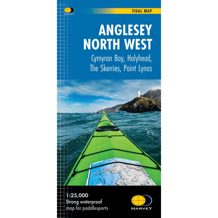
Anglesey Northwest Tidal Map
Understand the tides and visualise the flows.
£19.95
In Stock
Usually dispatched within 24 hrs. Free delivery to UK for orders £25 and over
| Cordee Code: | CMH402 |
|---|---|
| Page Size: | 118 x 245 mm |
| No of Pages: | 2 |
| Publisher: | Harvey Maps |
| ISBN13: | 9781851377350 |
| Scale: | 1: 25 000 |
| Author: | Harvey Maps |
| Published Date: | August 2026 |
| Edition: | 1st 2026 |
| Binding: | Sheet Map (folded) |
| Weight: | 50g |
| Product Type: | Map |
This map visualises tidal streams around North West Anglesey, helping coastal users understand how the water moves and when tidal timing matters most.
Includes more than 165km of coastline to explore, from Cymyran Bay to Point Lynas. Shows tidal flows around Holyhead, North and South Stack, West and Middle Mouse, and also the Skerries.
Designed for human-powered coastal activities, the map innovatively interprets complex tidal behaviour into a practical coastal planning tool.
Visual tidal stream mapping - clear arrows show the direction
and strength of tidal flows
Key tidal gates identified - locations where tidal timing is
critical and passage may be difficult against the stream
Designed for human-powered coastal craft - optimised for sea kayaking, paddleboarding and coastal exploration
Launch points clearly marked
100% waterproof and hard wearing
1:25,000 scale - clear and easy to read
Includes more than 165km of coastline to explore, from Cymyran Bay to Point Lynas. Shows tidal flows around Holyhead, North and South Stack, West and Middle Mouse, and also the Skerries.
Designed for human-powered coastal activities, the map innovatively interprets complex tidal behaviour into a practical coastal planning tool.
Visual tidal stream mapping - clear arrows show the direction
and strength of tidal flows
Key tidal gates identified - locations where tidal timing is
critical and passage may be difficult against the stream
Designed for human-powered coastal craft - optimised for sea kayaking, paddleboarding and coastal exploration
Launch points clearly marked
100% waterproof and hard wearing
1:25,000 scale - clear and easy to read